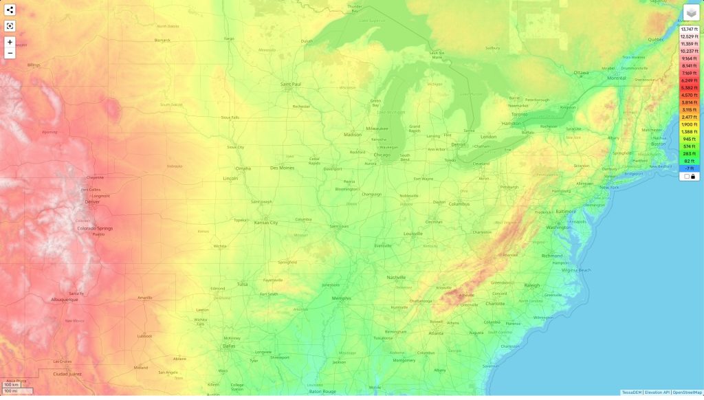
Illinois topographic map
Terrain, elevation and landscape map
The topography of Illinois is quite diverse, featuring high elevations in its northern and western regions. The highest elevation in the state is Charles Mound, which reaches an impressive height of 1,235 feet (376 m) above sea level. Other notable peaks include Mount Tom at 1,150 feet (351 m) and Apple River Canyon at 1,130 feet (344 m). The average elevation of Illinois is 600 feet (183 m), while the minimum elevation is 279 feet (85m) along the Mississippi River near Cairo.
The topography of Illinois also boasts some distinctive features that add to its zest and charm. Of these features, the most noteworthy are the rolling hills of the Shawnee National Forest in southernmost Illinois, as well as its numerous deep river valleys such as those of the Rock and Illinois Rivers.
Our site provides a comprehensive topographic map online for free where you can explore these features yourself. Designations of heights and other important attributes are labeled on our map, making it easy for anyone to get a better understanding of this unique topography.
 The Guide Maps
