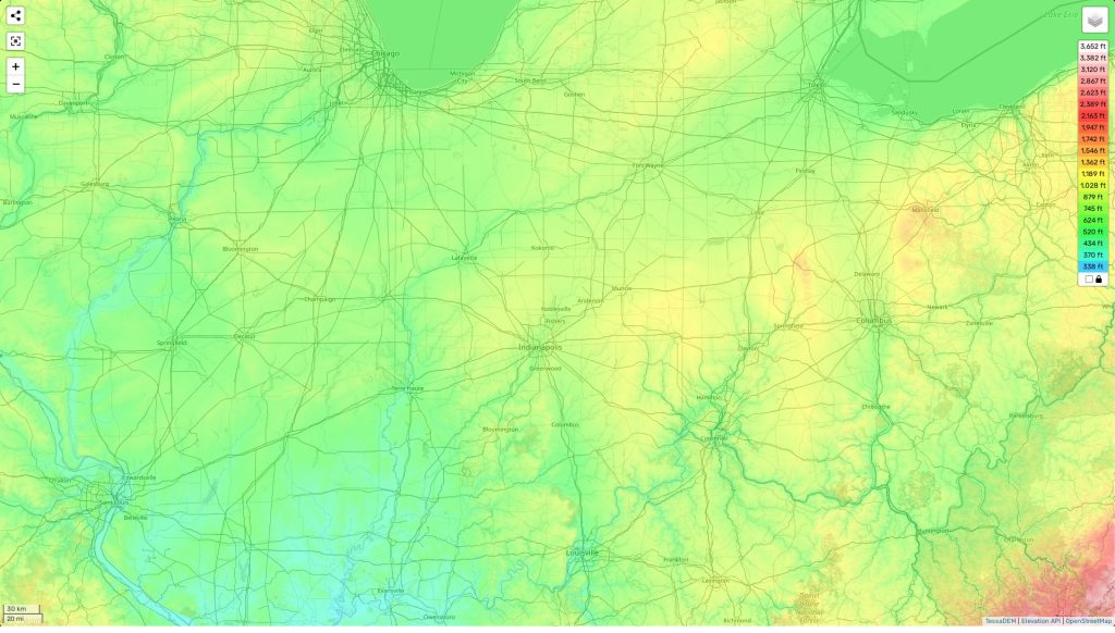
Indiana topographic map
Terrain, elevation and landscape map
The topography of Indiana is generally low lying, with gentle rolling hills and an average elevation of about 650 feet (198 meters) above sea level. The highest point in the state is Hoosier Hill at 1,257 feet (383 meters), located in Wayne County in the east central part of the state. The lowest point is 320 feet (98 meters) at the Ohio River along the Indiana-Kentucky border. On our site, you can find a topographic map online for free which shows designations of heights and other important attributes on it. One distinctive feature of Indiana’s topography is its steep dune ridges that mark shoreline features along Lake Michigan’s southeastern shoreline. The dunes are especially prominent within Indiana Dunes National Park, where they reach a height of up to 200 feet (61 meters). In addition to the dunes, other zesty features include the Hoosier National Forest, comprising more than 202,000 forested acres in 19 counties; two national rivers – White and Wabash; gorgeous river valleys; and numerous nature preserves scattered throughout the state.
 The Guide Maps
