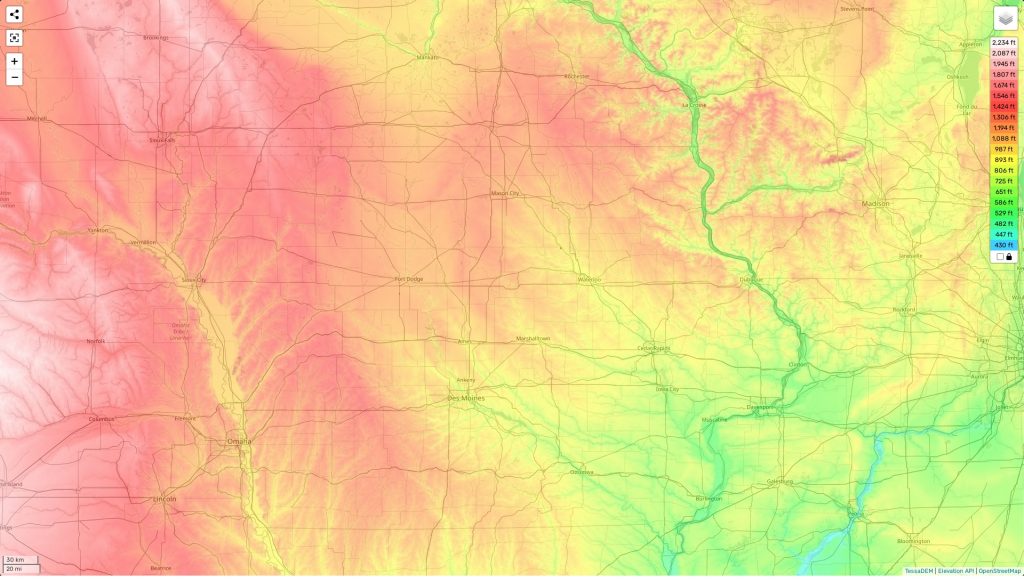
Iowa topographic map
Terrain, elevation and landscape map
The state of Iowa is a diverse topographic area. It has the highest elevation point at Hawkeye Point, located in the northwest corner of the state and reaching 1,670 feet above sea level. Iowa’s average elevation is around 900 feet, giving it a mostly flat look across its prairies and rolling hills. The state’s minimum elevation is found along the Mississippi River at 480 feet. However, despite its often-flat appearance, Iowa still has some distinctive features that are worth exploring. In addition to numerous lakes and rivers (many of which have been designated as National Natural Landmarks), Iowa has an array of unique geological formations such as Loess Hills and Loess Bluffs which provide breathtaking views for adventurers and hikers. Our site provides a free online topographic map with designations of heights and other important attributes such as landforms, vegetation, bodies of water and more to explore the state’s immense beauty!
 The Guide Maps
