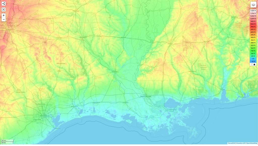
Louisiana topographic map
Terrain, elevation and landscape map
The topography of Louisiana is complex and varied. It has a range of elevations from the highest point at Driskill Mountain, 535 feet above sea level, to an average elevation of just 100 feet above sea level. There are also plenty of lowlands throughout the state, such as in the Atchafalaya Basin which is only 10-20 feet above sea level in some places. The unique zest of Louisiana includes its many bayous and swamps, such as the Atchafalaya Swamp, Caddo Lake and Bayou Lafourche. These wetlands provide a home for some of the diverse wildlife found here including alligators, birds and Cypress trees.
At our website you can find a free topographic map that marks out these different heights and other important features such as roads, rivers and lakes. This allows visitors to easily explore the area and plan their route around Louisiana’s sprawling landscape. You can also see surrounding states so you can compare different types of terrain within one glance!
 The Guide Maps
