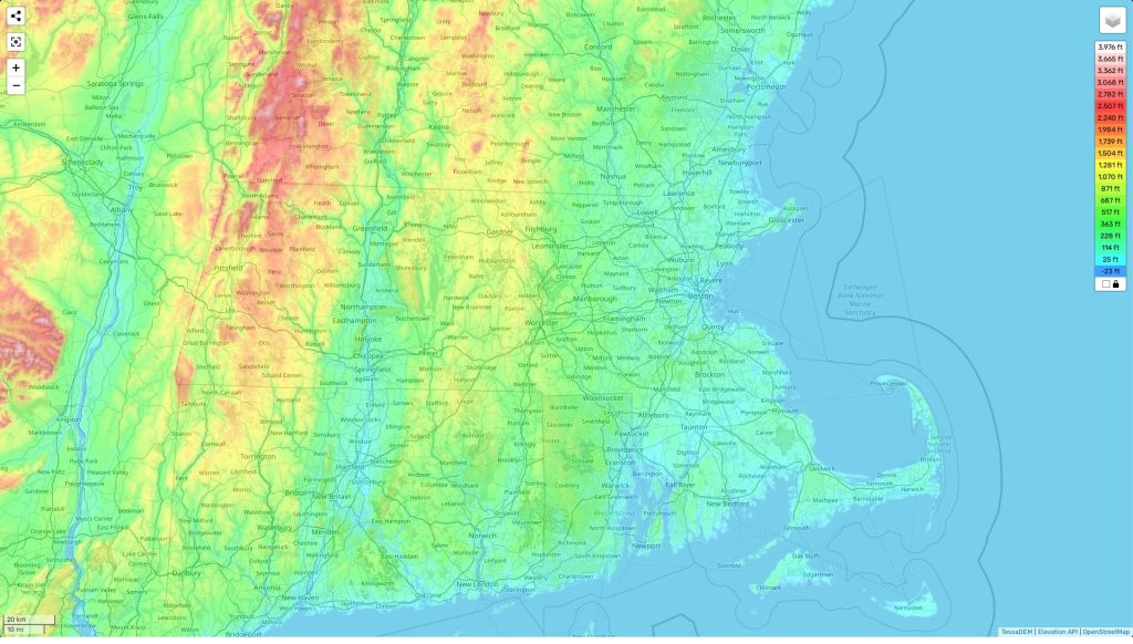
Massachusetts topographic map
Terrain, elevation and landscape map
The topography of Massachusetts is a vibrant tapestry of hills, mountains, rivers, and lakes. The highest elevation in the state is Mt Greylock at 3491ft, located in Berkshire County. Mount Monadnock in Hampshire County is close behind at 3165ft. The average elevation of Massachusetts is around 400 feet above sea level. The lowest point in the state is sea level at Buzzard’s Bay along the southeastern coast.
Our site provides a free topographic map online, with designations of elevations and other important features. Easily viewable terrain features such as rivers, streams, coastline and parks are clearly shown on our highly detailed maps. Distinctive features of Massachusetts include its natural beauty like Cape Cod National Seashore Park or White Mountains National Forest – both sites popular with hikers and campers alike. As a state with plenty to offer outdoor enthusiasts, we hope you can appreciate all that Massachusetts has to offer!
 The Guide Maps
