Mississippi topographic map
Terrain, elevation and landscape map
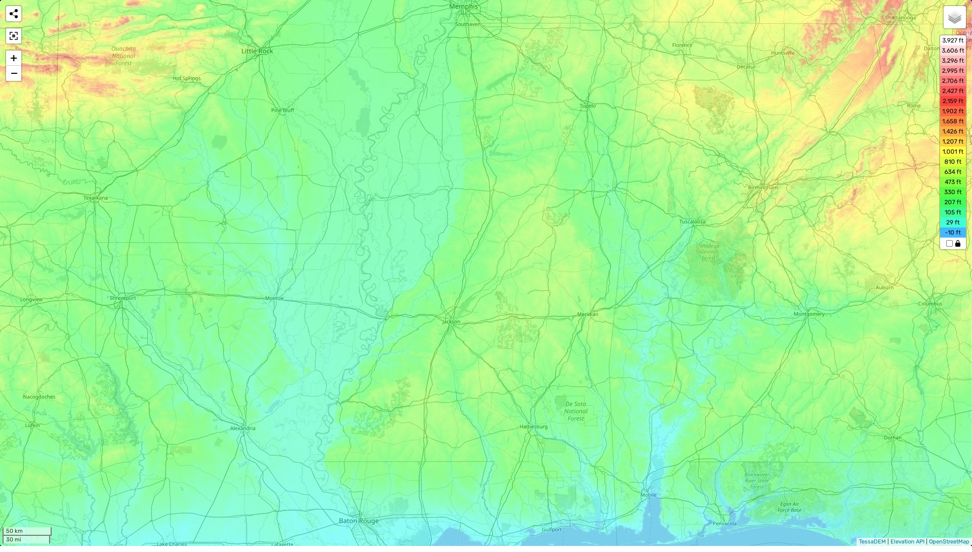
Mississippi topographic map
The state of Mississippi is home to a variety of landforms and features. The highest elevation in Mississippi is the Woodall Mountain at 807 feet above sea level, located in the extreme northeast corner of the state. The average elevation is 300 feet, while the lowest elevation can be found in the Gulf Coast region at sea level. The area is filled with hills and low mountains, as well as plenty of rivers, streams and swamps that have created diverse terrains throughout the state. One distinctive feature that stands out is the Delta region which consists of flatlands near the Mississippi River with its oxbow lakes, swamps and wetlands. On our site visitors can access a highly detailed topographic map that provides information about heights, roads, rivers and other important features. There are also various designations for each type of terrain visible on our map so you can easily determine what type of environment you will find when exploring this beautiful state.