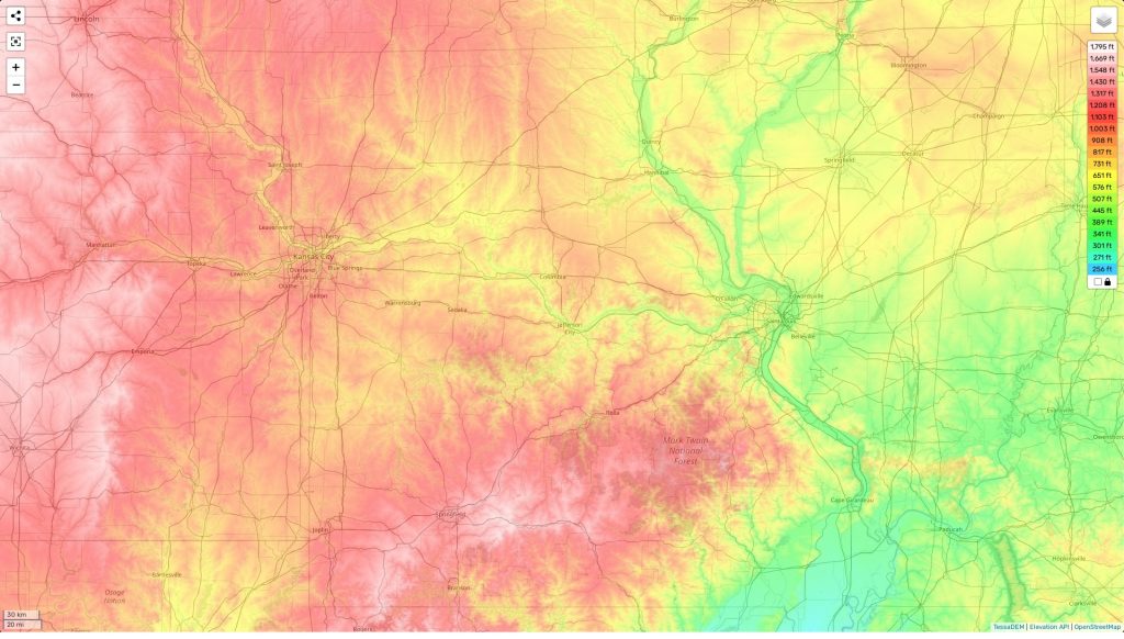
Missouri topographic map
Terrain, elevation and landscape map
The topography of Missouri is diverse, featuring a variety of elevations, landscapes and terrains. The highest elevation in the state is located at Taum Sauk Mountain, at an impressive 1,772 feet above sea level. Meanwhile, the average elevation in the state rests at 800 feet above sea level. The minimum elevation recorded in Missouri lies on its western border at 230 feet above sea level near the town of St. Louis. This makes for a wide range of geographical features in the state including rolling hills, meadows, rivers and forests.
In addition to its diverse topography, Missouri is also home to some truly unique geographical features such as Elephant Rocks State Park which contains enormous granite boulders scattered throughout the forested countryside. On our MapStorewebsite we provide a free online topographic map that features designations of heights and other important attributes throughout Missouri – giving you a comprehensive view of its varied landforms.
 The Guide Maps
