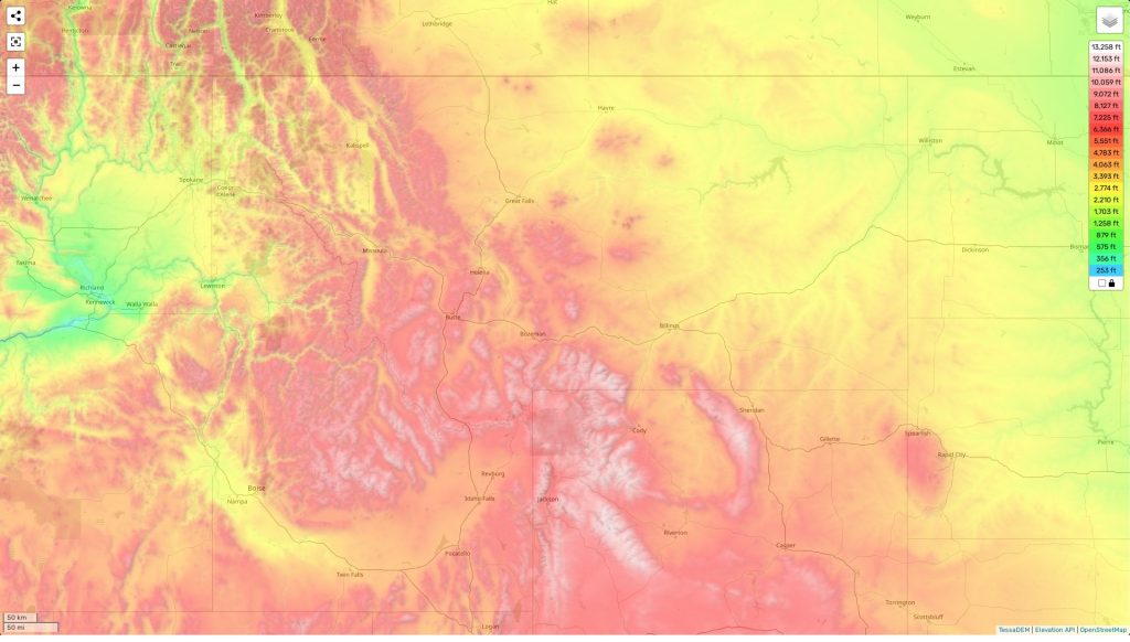
Montana topographic map
Terrain, elevation and landscape map
Montana’s topography is a complex mix of high, rugged mountains; rolling hills; deep river valleys; and vast plains. The highest elevation point in Montana is Granite Peak, which stands 12,807 feet above sea level. Other mountain ranges include the Beartooths, the Bitterroots, the Crazy Mountains and the Mission Range. The average elevation of Montana is 3,400 feet above sea level. The lowest point in Montana is on the Kootenai River at 1,800 feet above sea level.
The unique geography of Montana also includes expansive grasslands and forests which give this area its distinctive character. Its rugged landscape provides many recreational opportunities including camping, hiking, rafting and fishing. The wild beauty of this area has made it a popular destination for adventurers from around the world.
Our site provides an interactive topographic map online for free with designations of heights and other important features in Montana such as rivers, lakes and streams. Additionally it marks natural features like forests and trails to assist you in exploring the area like never before!
 The Guide Maps
