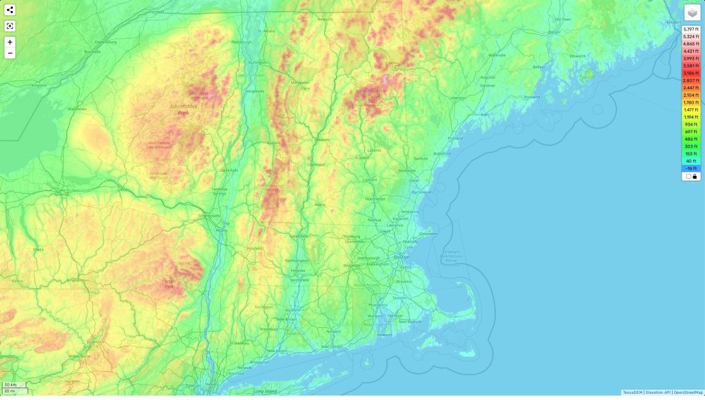
New Hampshire topographic map
Terrain, elevation and landscape map
The topography of New Hampshire is varied and diverse. The highest elevation in the state is Mount Washington, at 6,288 feet above sea level. This mountain range includes many other peaks such as Mount Adams, Madison, Jefferson, and Monroe. Along with the mountains are rolling hills and lowlands throughout the state. The average elevation of New Hampshire is approximately 1,000 feet above sea level.
One distinctive feature of New Hampshire’s topography is its many lakes and ponds that dot the landscape. From big to small, there are a total of 683 natural waterbodies in New Hampshire, ranging from large lakes such as Lake Winnipesaukee to smaller ponds like Profile Lake.
New Hampshire also has an abundance of rivers and streams flowing through the state, including the Connecticut River which runs along the eastern border. The minimum elevation in New Hampshire is 17 feet above sea level at Great Bay estuary near Portsmouth.
If you’re looking for more detailed information about New Hampshire’s topography and geography then our website provides a comprehensive topographic map online for free! On our map there are designations of heights and other important attributes that will help you make sense of this diverse terrain!
 The Guide Maps
