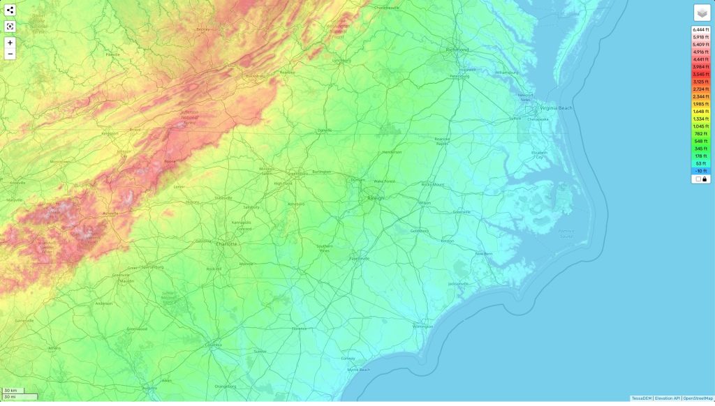
North Carolina topographic map
Terrain, elevation and landscape map
The topography of North Carolina is characterized by a variety of elevations and features, ranging from the highest point at Mount Mitchell (6,684 ft) to the average elevation of 1,500 feet above sea level. The minimum elevation in the state is located in Pungo Lake (25 ft). Additionally, North Carolina contains an abundance of rolling hills and mountain ranges, including the Great Smoky Mountains, Blue Ridge Mountains and Appalachian Mountains. The state is also home to various valleys and rivers, with some of the most notable being the Yadkin-Pee Dee River Basin and the French Broad River.
For those looking to explore North Carolina’s topography further, our website offers a free online topographic map. This map is extremely detailed and includes designations of heights as well as other important attributes like bodies of water and landforms specific to this area. It also highlights some of North Carolina’s distinctive features like its numerous National Park sites – such as Great Smoky Mountains National Park – making it easier for visitors to explore all that this beautiful state has to offer.
 The Guide Maps
