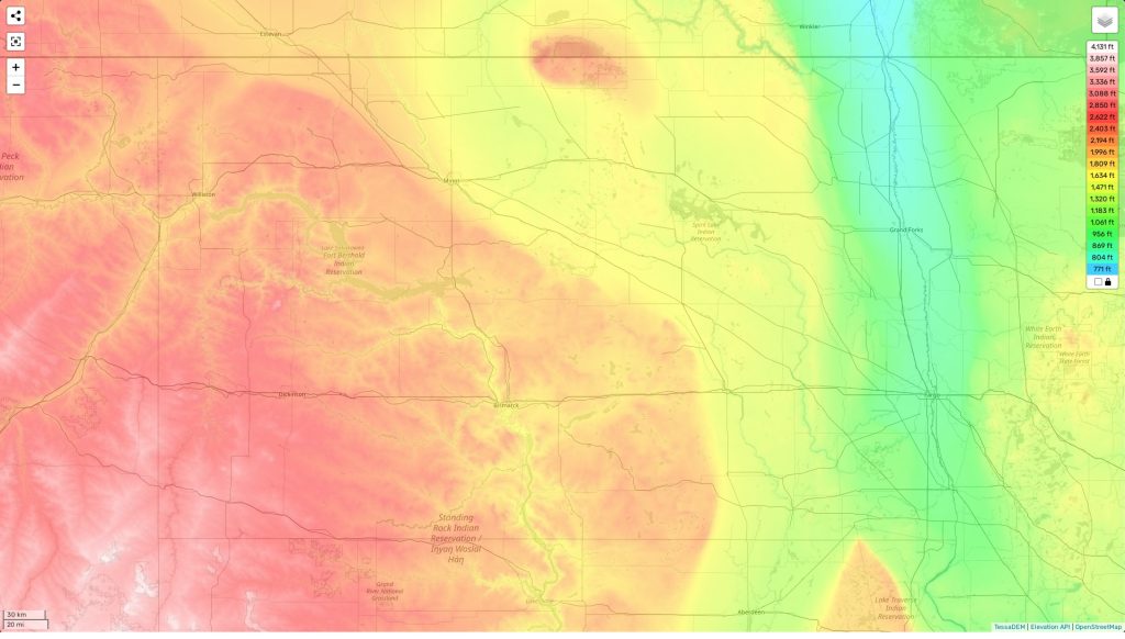
North Dakota topographic map
Terrain, elevation and landscape map
The topography of North Dakota is marked by its contrast in elevations, with the highest point being White Butte, which stands at an elevation of 3,506 feet. This is nearly a thousand feet higher than the average elevation for the area, which is 2,544 feet. The minimum elevation in North Dakota is 814 feet at the Red River near Fargo. North Dakota’s topographic map outlines these differences surrounded by plains and rolling hills that are cut through by the Missouri River and its tributaries. The map also shows the distinctive flat-topped buttes scattered throughout this part of the Great Plains region known as “badlands”, providing a unique and breathtaking landscape in this part of the Midwest.
Our site provides one of the best free online topographic maps available to explore this amazing landscape with various designations for heights and other features like roadways and waterways. On our interactive map you can zoom in to get detailed information on individual areas like mountains or rivers, as well as see quickly how elevation changes from place to place, giving you an idea of where you should plan your next adventure!
 The Guide Maps
