Oceanside topographic map
Terrain, elevation and landscape map
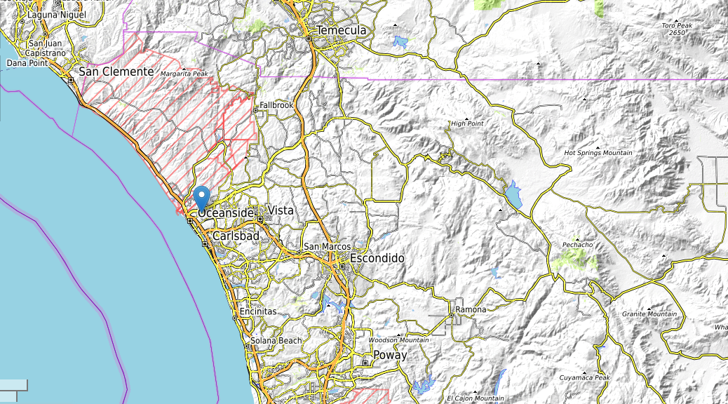
City of Oceanside topographic map
Embark on a fascinating exploration of Oceanside City’s captivating landscapes through the lens of our detailed topographic maps. These maps offer a comprehensive view of the city’s elevation variations, providing a deeper understanding of its diverse terrain and natural beauty.
Oceanside City, with an average elevation of 109 feet, is a coastal gem that boasts a range of elevations to discover. Our topographic maps allow you to trace the contours of this vibrant city, from its lowest point at -24 feet to its highest peak at 789 feet. This elevation spectrum showcases the remarkable contrast between the city’s lowest and highest points, contributing to the unique character of Oceanside’s topography.
As you explore the map, you’ll uncover the gradual ascent from the coastline to the elevated plateaus, where the city’s neighborhoods are nestled. Discover how the elevation influences the distribution of residential areas, parks, and commercial districts, shaping the urban landscape in harmony with the natural surroundings.