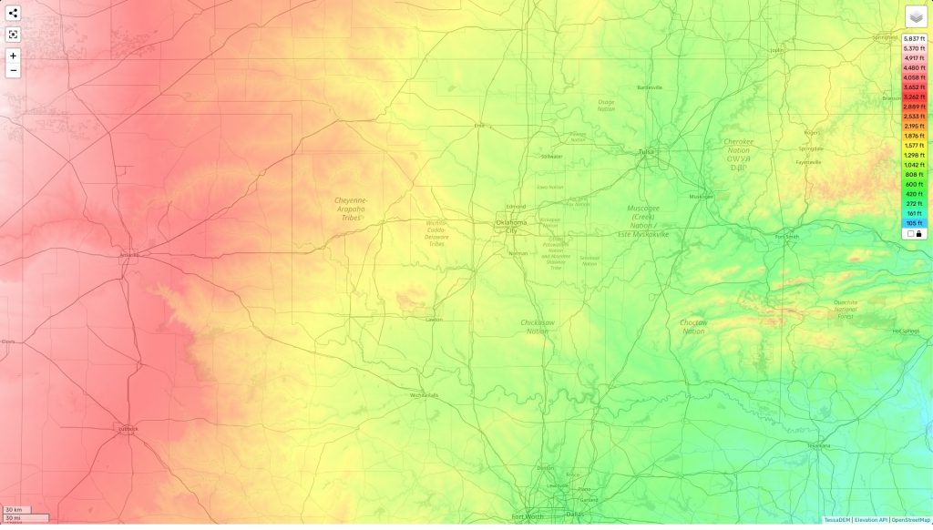
Oklahoma topographic map
Terrain, elevation and landscape map
 Oklahoma is a beautiful and diverse state with a rich topography. Its highest elevation point is Black Mesa, at 4,973 feet above sea level. The average elevation of Oklahoma is around 1,300 feet, while the minimum elevation is 289 feet at the Little River near Idabel. In between these two extremes, you will find a variety of terrains including rolling hills, plains, and occasional outcroppings of mountains. One distinctive feature of Oklahoma’s landscape is its sand dunes. These unique dunes rise up from the Red River Valley in southwestern Oklahoma near the Texas border and provide an incredible view for anyone who visits this part of the country.
If you’re looking for a detailed topographic map to explore these features of Oklahoma’s terrain, then you’ve come to the right place! Our website provides free topographic maps that clearly show designations for heights and other important features like waterways and contours. With our maps you can easily take a closer look at different areas in order to get a better understanding of what lies beneath the surface. So why not take some time to discover all that Oklahoma has to offer?
 The Guide Maps