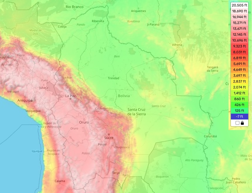
State of Bolivia topographic map
Elevation and landscape map of Bolivia
Bolivia is a country with many topographic features and features. It is situated in the middle of South America and borders Peru, Chile, Argentina, Paraguay and Brazil. The country is characterized by its great variety of landforms, ranging from towering mountains to flat plains. The highest elevation of Bolivia is Illimani which stands 21463 feet (6,438 meters) above sea level at its summit. Its average elevation is around 1640 feet (500 meters) above sea level, while the minimum elevation is only 50 meters above sea level near the borders of Peru and Brazil.
The country also has some remarkable distinct features such as Lake Titicaca – the highest navigable lake in the world – located at an altitude of 3,812 meters above sea level; Salar de Uyuni – one of the largest salt flats in the world – located at an altitude between 3,653-3,656 meters; Chacaltaya Glacier – the highest accessible glacier in South America – located at an altitude of 5,421 meters; La Paz – World’s Highest Capital City – located at an altitude of 3640m and many other natural wonders that attract millions of tourists from all over the globe every year.
At our website you can find an informative topographic map for Bolivia for free that displays designations of heights and other important attributes. It helps to get a comprehensive understanding about this unique country’s geology, topography and landscape.
 The Guide Maps
