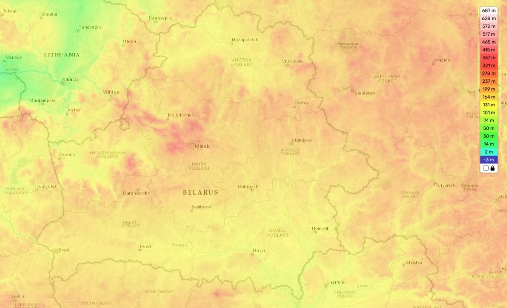
Belarus topographic map
Elevation and landscape map of Belarus
Belarus is a landlocked country located in Eastern Europe. It has a unique topography that includes the highest elevation point at Dzyarzhynskaya Hara 1131 feet (345 m), the average elevation at 531 feet (162 m), and the minimum elevation of 90 m. The country is mainly flat with forests covering more than one third of its area. Its distinctive features include more than 11,000 rivers and 11,000 lakes scattered across the landscape. Its zest lies in its vast protected areas, such as national parks and game reserves.
Our site provides a topographic map online for free that includes designations of heights and other important attributes such as surface coverages and water bodies. This map is available to help people explore Belarus’ varied topography in detail. With this topographic map you can observe Belarus’ low-lying plains, hills, rolling terrains, rivers, lakes and other geographical features. It also allows you to better understand how different areas interact with each other to create the country’s distinctive terrain patterns.
 The Guide Maps
