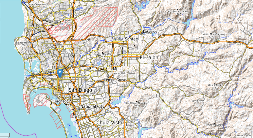
San Diego topographic map
Terrain, elevation and landscape map
City of San Diego topographic map
Embark on a captivating journey through the diverse landscapes of San Diego with the aid of our detailed topographic maps. These maps provide an insightful glimpse into the region’s elevation variations, showcasing the intricate contours and heights that define its natural beauty.
From the sun-kissed beaches of the coastline to the rugged expanses of the backcountry, our topographic maps offer an immersive experience of San Diego elevation changes. Traverse the coastal plains and discover the gradual ascent into the foothills, where the terrain begins to rise. Journey further to witness the majestic peaks that punctuate the county’s skyline, each peak telling a unique geological story.
Navigate the trails that wind through canyons and valleys, and gain a profound understanding of how elevation influences the ecological diversity of the area. Explore the rolling hillsides that contribute to the county’s charming vistas, and venture into the higher elevations that offer panoramic views of the Pacific Ocean and the inland valleys.
 The Guide Maps
