Map of United Kingdom (UK)
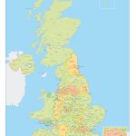
United Kingdom of Great Britain map online
| № | Locality | State | Coordinates | Stations |
|---|---|---|---|---|
| 1 | London | - | - | 0 |
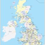
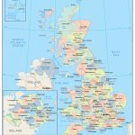
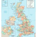
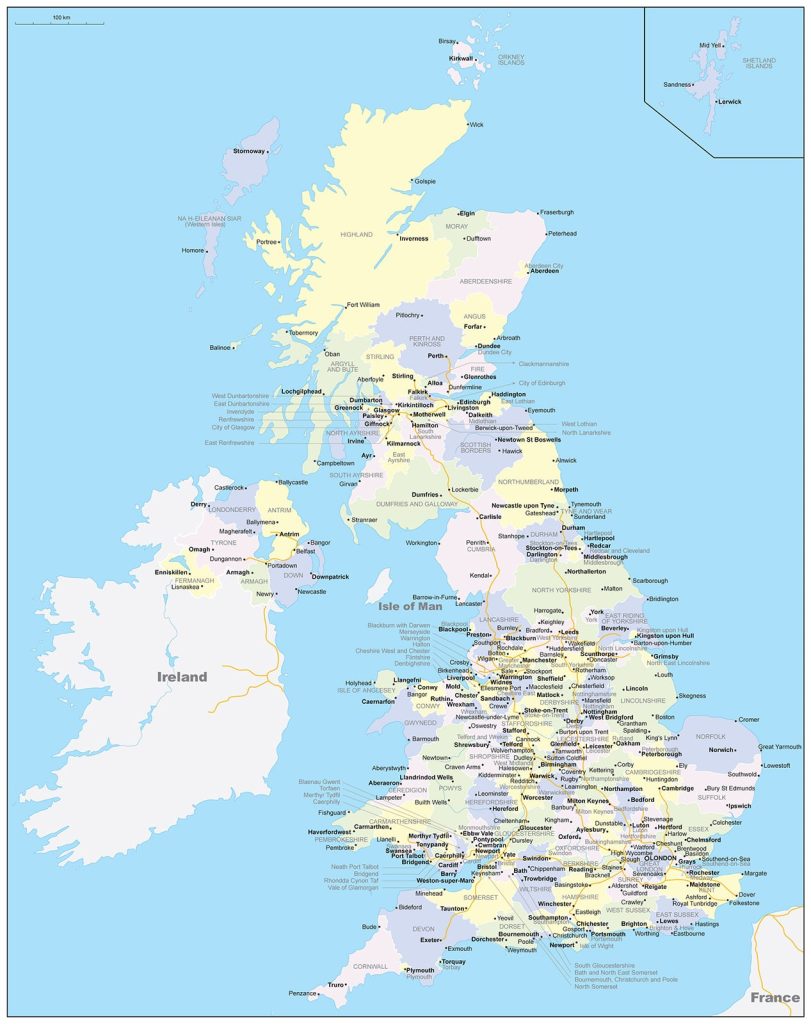
- UK political map with borders
- Administrative divisions of Great Britain
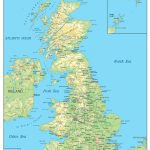
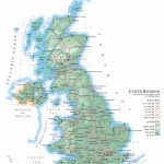
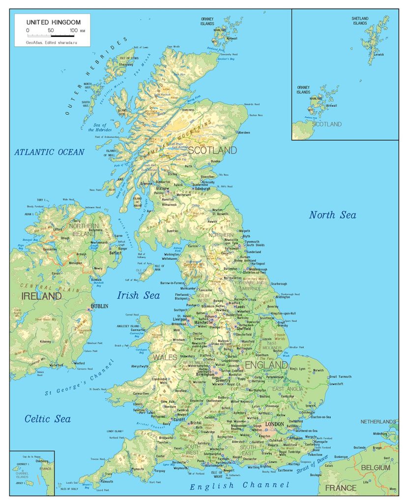
- Relief of Great Britain
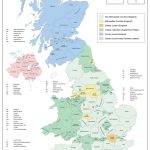
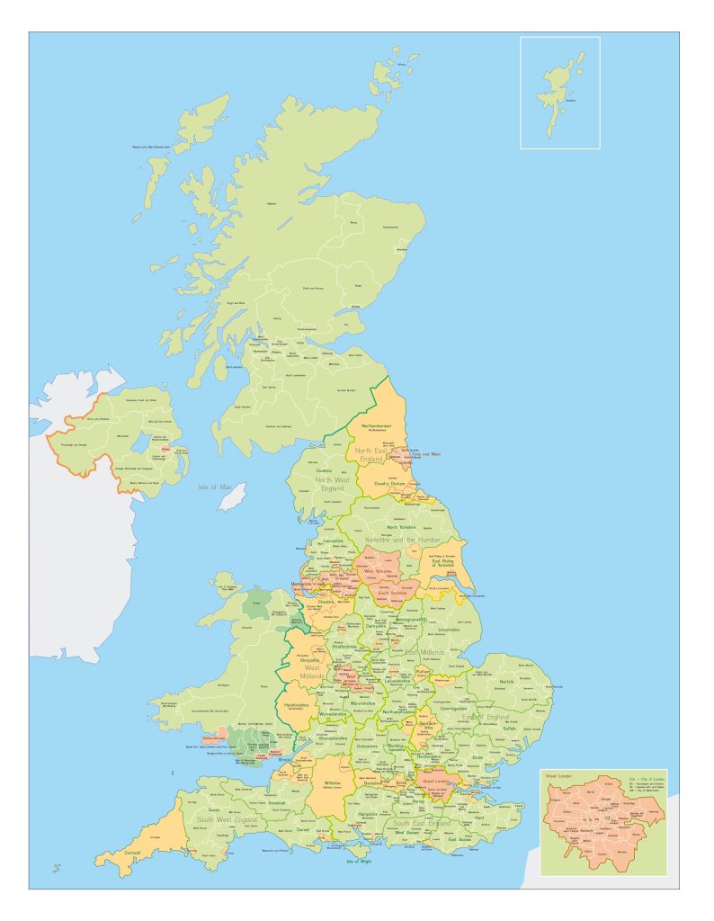
- UK Counties and Unitary Authorities
- Regions on a map with borders
General description of the United Kingdom of Great Britain
The United Kingdom of Great Britain and Northern Ireland is a state located in the British Isles in northwestern Europe. On the map, Great Britain is surrounded by water: the Irish, Celtic and North Seas, the English Channel and the Atlantic Ocean.
The area of Great Britain is 242,500 km², which is slightly larger than Belarus, but smaller than Italy.
British rivers are small and not used by large ships, but the amount of water resources due to the climate is large. The largest rivers are the Severn, 354 km long, originating in the Cumberland Mountains and flowing into the Bristol Bay; and the Thames, 346 km long, with its source in the Cotswold Hills , which flows into the North Sea.
Capital, financial and cultural center of the state — London. On a map of the island of Great Britain, this is a point to the southeast , at the mouth of the River Thames.
The relief of the country is characterized by predominantly hilly plains. The highest point in the country, Mount Ben Nevis, is located in Scotland, near the city of Fort William. The height of the mountain is 1344 m.
The climate of Great Britain is temperate oceanic and is characterized by high rainfall throughout the year. Cloudy days prevail. The weather is influenced by the sea and the warm current of the Gulf Stream. The average temperature here is higher than in other areas at the same latitude.
The largest cities in the UK
- Liverpool (492 thousand) ;
- Bradford (530 thousand) ;
- Manchester (545 thousand) ;
- Sheffield (578 thousand) ;
- Glasgow (621 thousand) ;
- Leeds (785 thousand) ;
- Birmingham (1 million 137 thousand) ;
- London (8 million 825 thousand) .
Location of United Kingdom on the world map
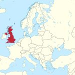
On the world map, Great Britain is located in the northwest of Europe. The borders of the North Sea the United Kingdom shares with Germany, Norway and Denmark. Nearest neighbors and Great Britain across the Atlantic Ocean: Greenland , Iceland, Portugal, Spain, Belgium, the Netherlands and neighboring countries France. The state ‘s only land border lies between Northern Ireland and the Republic of Ireland.
The territory of the United Kingdom consists of the island of Great Britain, the island of northern Ireland and a large number of the British Isles . Island of Great Britain 209 thousand km² is the largest island of the kingdom . It occupies 66% of the area of the British Isles.
The state is divided into 4 parts: Northern Ireland , England, Scotland and Wales. England I – the most a large administrative part of Great Britain.
The British Crown also owns some formally not included in the Kingdom of the land:
- the Channel Islands in northern France ;
- Isle of Man ;
- Gibraltar ;
- Pitcairn Islands ;
- South Sandwich Islands ;
- Falkland Islands ;
- Bermuda ;
- Virgin Islands ;
- British Isles ;
- Cayman Islands ;
- Military bases in Dhekelia and Akrotiri and in Cyprus and others .
In total , these are 14 territories that are under the sovereignty of Great Britain and are connected with it by mutual obligations.
Relief
The relief of Great Britain is heterogeneous. Plateaus and lowlands are replaced by plains and mountains. The highlands are found in the northwest and southwest of England, in central and northern Wales, as well as in Scotland with its highest point in the UK . England is dominated by the lowlands .
Famous mountain ranges of Great Britain
- South Scottish Highlands (Scotland);
- Scottish Highlands with the Grampian Mountains (Scotland);
- Massif and Antrim Plateau (Northern Ireland);
- Cumberland and Pennines (England);
- Cambrian Mountains and Snowdonia (Wales).
Water resources: seas, rivers and lakes
The climate of Great Britain is characterized by high rainfall. Moisture does not have time to evaporate, which is the reason for the developed network of full-flowing rivers in the country.
The major rivers are the Severn and the Thames. The source of the first, longest river in the UK is the Cambrian Mountains of Wales near the town of Plynlimon Vaur. Starting from a height of 610 meters, the river passes through the counties of Worcestershire, Shropshire, Gloucestershire and flows into Bristol Bay. The speed of the river reaches up to 107 meters per second .
The headwaters of England ‘s longest river , the Thames , is located in the county of Gloucestershire . The modern route of the Thames is the result of several changes in the current around Maidnhead, Oxford and Abingdon to facilitate navigation. The river passes by Hampton Court, Kingston, Surbiton, Teddington, Richmond , the capital of London, and ends in the North Sea. The Thames is an important transport hub for UK international trade . Also, the Thames water ring provides the inhabitants of London and the surrounding area with fresh water.
The largest lakes in Great Britain
- Loch-Ness
It is the country’s largest lake by volume and contains twice as much water as other lakes in Wales and England. Located near Inverness in Scotland. The area of the lake is 57 km².
- Loch-Neagh
Located at a distance of 30 km from Belfast in Northern Ireland. This is a shallow lake with an average depth of 9 m. Nevertheless, the area of the lake is impressive and is 400 km².
- Loch-Lomond
The lake with an area of 71 km² is located in the southwest of the Grampian Mountains and ranks first among lakes in Scotland in terms of water volume.
Most of the lakes are of glacial origin.
For flat Great Britain, natural lakes are not typical, but there are many reservoirs artificially created on the site of sand and gravel quarries .
The largest cities on the map of UK
London
As the capital of Great Britain, London closes the top three largest European cities. Its area is: 1,572 km². On the map, the city occupies the southeast of the island of Great Britain, near the terminus of the River Thames. It is located on the Greenwich meridian. The highest point – Westerham Heights – is located in the southeast of the city, at an altitude of 245 meters. Otherwise, it is a low-lying plain.
London is the main cultural, economic and political center of Great Britain, as well as the world financial center.
Birmingham
The city of 267 km² is located on the Birmingham Plateau. Birmingham is the second largest city in the UK and the center of the West Midlands region. The relief of Birmingham is formed by an extensive network of water channels, which is larger here than in Amsterdam or Venice.
Leeds
The city is located on the River Eyre, at the foot of the Pennines. This is northern England. Due to the fact that Leeds is closed by the Pennines, there is less rainfall here than in other areas: approximately 600 mm per year. The area of the city is 112 km².
Glasgow
With an area of 175 km², Glasgow is the fourth most populated city and the largest city in Scotland. It is located in the Mid-Scottish Lowlands, in the west of the central part of the country. The River Clyde flows through Glasgow. It is the third longest river in Scotland.
Summers are cool here, while winters are cold, long and windy. Temperatures typically range from 1°C to 19°C throughout the year.
Sheffield
To search for a city on a map, you need to find the Don River Valley in the Pennines in England. Geographically, the city is diverse: some areas are located at an altitude of 0.5 km above sea level or more, others are in the lowlands at a level of 29 m.
Sheffield is the greenest city in the country. About 4.5 million trees grow here, which automatically gives the English city the championship among European cities in terms of the number of trees per person. The area of the city is 122.5 km².
 The Guide Maps
