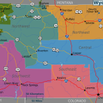
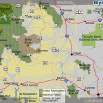
Wyoming map, USA
General map of Wyoming live
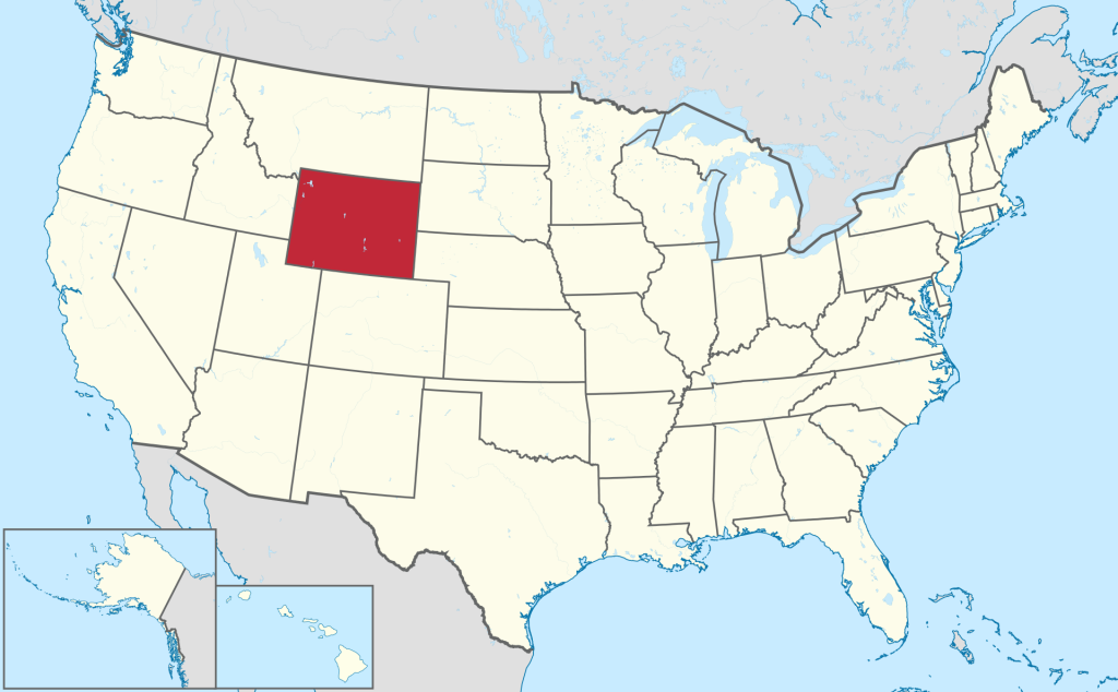
The geographical position of the state of Wyoming on the map of the USA
State boundaries are defined by parallels and meridians, making Wyoming a flat rectangle on the map. The state’s northern border is at N 45o and separates Wyoming from the state of Montana . The southern border with the state of Colorado is at N 41o West at W 111o Wyoming borders Idaho and Utah . The eastern border with Nebraska and South Dakota is at W 104o.
The territory of Wyoming covers a variety of natural areas. The physical map shows that the Great Plains extend to the east of Wyoming. The central and western parts of the state are dominated by the snowy ranges of the Rocky Mountains, culminating in Gannett Peak at 4,207 m (13,211.94 ft) above sea level. Mountain systems are distinguished by seismic activity; it is here that the famous Yellowstone volcano is located. The Rocky Mountain system is a watershed between rivers flowing into the Atlantic and Pacific Oceans. In the mountains of Wyoming, the largest rivers of the United States take their sources: the Missouri, Columbia and Colorado. In the intermountain valley between the Southern and Central Rocky Mountains, an inland basin of Wyoming rivers, called the Chain of Lakes, formed.
The climate of Wyoming is determined by the highlands of the state and the distance from the ocean coasts. On the Great Plains in the east of the state, a steppe semi-arid climate prevails with an average January temperature of -2 o C, and in July up to +24o C. The climatic conditions of the Rocky Mountains are characterized by a large amount of precipitation, especially in winter in the form of snow. Snow cover on the tops of the mountains can last up to 150 days a year. Temperatures in the mountains are significantly lower than in the steppes of the Great Plains, and can drop to -41o C in January. In summer, the average temperature does not exceed +10 o C.
The state’s vegetation cover is 75% herbaceous and stunted shrubs as the arid steppes extend their influence into the foothills of the Rocky Mountains. Coniferous forests in Wyoming grow along rivers and streams in the mountains of the state. Wyoming’s largest forest, at 450,000 hectares (1,737.46 square miles), is located in the Bighorn Forest National Park and is a state-protected nature reserve.
Major cities of Wyoming on the map
On the map of Wyoming , there are several large settlements in which a third of the state’s population lives.
- Cheyenne . The capital of Wyoming is located in the southeast of the state, 20 km from the border with Colorado between the North and South Platte , tributaries of the Missouri River . The city is located among the hilly prairies 60 km east of the Rocky Mountain ranges, which have a great influence on the climatic conditions of the city. Summer in Cheyenne is dry and hot, the average temperature in July reaches 28.5 o In winter, the snow cover reaches 1 meter, and temperatures drop to -36 o C.
- Casper . The second largest city in the state is located 285 km from the capital in the Rocky Mountain Valley at the foot of the mountain of the same name. Casper is located on the scenic banks of the North Platte River . As with all of Wyoming, the city’s climate is semi-arid, with dry summers and snowy winters.
- Laramie . The city with a population of 21 thousand inhabitants is located 140 km west of Cheyenne on the banks of the river of the same name. Laramie lies at the foot of the Rocky Mountains, so the winters here are snowy and cold.
- Gillette . A small city with a population of less than 20 thousand people is located 392 km from the capital of the region to the north, near the borders with Montana and South Dakota. Gillette is located in the middle of a mining mineral basin. Coal, oil and methane are mined here. Geographically, it is located on the prairies of the Great Plains at a distance from the Rocky Mountains, so the climate here is desert and arid.
| № | Locality | State | Coordinates | Stations |
|---|---|---|---|---|
| 1 | Rock Springs | Wyoming | - | 0 |
| 2 | Kemmerer | Wyoming | - | 0 |
| 3 | Hanna | Wyoming | - | 0 |
| 4 | Antelope | Wyoming | - | 0 |
 The Guide Maps


