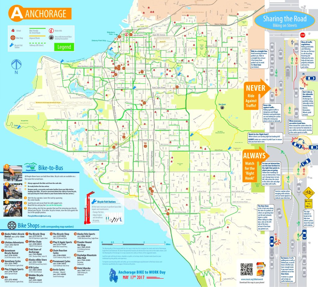
Anchorage map, Alaska USA
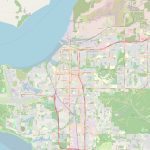
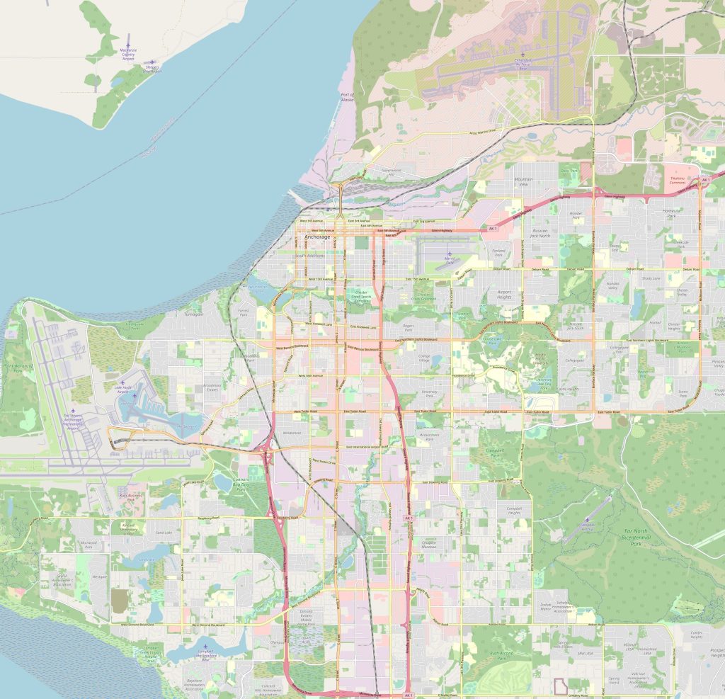
Map of the surroundings of Anchorage can provide a good understanding of the area. It can show you the location of nearby mountains, bodies of water, parks, and other natural features, as well as nearby towns and cities. This information can be useful for exploring the area, planning trips, or making decisions about where to live or visit. The Anchorage Interactive, street map is a digital map of Anchorage, Alaska that provides detailed information about the city's streets, neighborhoods, and points of interest. This type of map is usually interactive and allows users to zoom in and out, view satellite imagery, and search for specific locations. It is a valuable tool for navigating the city, finding addresses, and exploring the area. The Anchorage Interactive, street map may be available online through various websites or mobile applications.
Interactive Map of Anchorage
Anchorage map collection
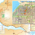
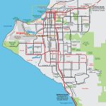
- Schematic map of Anchorage with streets and freeways
- anchorage tourist map
- Anchorage Road Map
- Anchorage Map Alaska
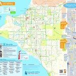
- anchorage bike map
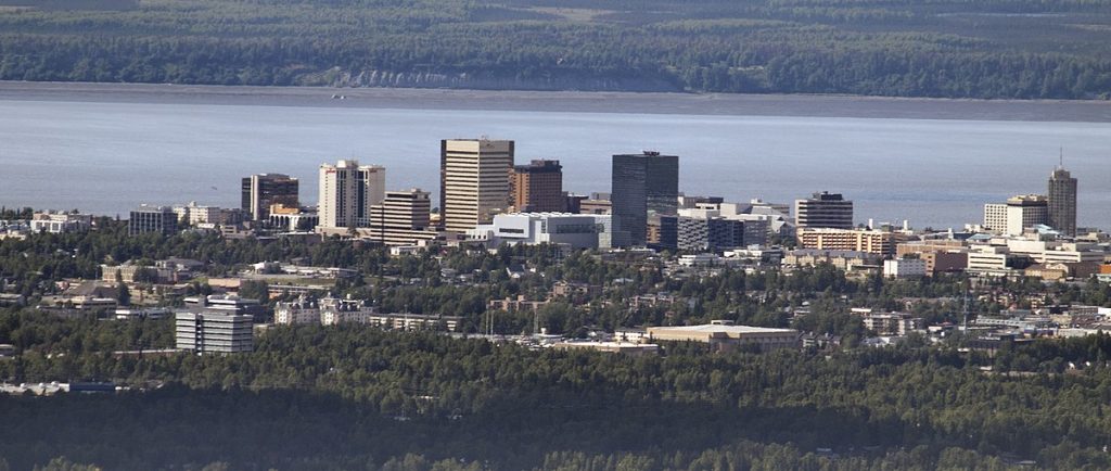 View this map of Anchorage with roads, streets and houses. Anchorage is the largest city in Alaska and is located on the Cook Inlet of the Pacific Ocean. It’s the northernmost span of the continental United States. Anchorage has a vibrant cultural life, unique topography, and plenty of outdoor activities to keep travelers busy. With its prime location, Anchorage is a great spot to explore Alaska’s history and culture.
Location and maps of Anchorage
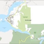
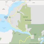
Anchorage lies on the south-central coast of Alaska at 61°13′ N latitude, 149°53′ W longitude. On a political map, you can see all the major cities surrounding Anchorage such as Fairbanks and Juneau. The physical map displays various terrain features such as mountains, rivers, lakes, glaciers and natural parks that are perfect for exploring. The Anchorage map is a great tool to avoid getting lost in an unfamiliar city. Map of the surroundings of Anchorage can provide a good understanding of the area.
Things to do in Anchorage
There are so many things to do in Anchorage including hiking on some of its beautiful trails, skiing on snow-capped mountains or visiting museums to learn about Alaskan culture and history. You could also take a boat ride out into Prince William Sound where you can view whales or go fishing for salmon. Shopping lovers would enjoy browsing through local retail shops while foodies can sample delicious seafood dishes from local restaurants or try traditional Alaskan dishes like smoked salmon chowder or king crab legs. The reference map of Anchorage serves as a starting point in the world of traveling around the city.
Nearby cities
The nearest cities to Anchorage are Wasilla (44 miles away), Palmer (52 miles away), Kenai (75 miles away) and Soldotna (104 miles away). The Ted Stevens International Airport is about 7 miles from downtown Anchorage with flights leaving for most major U.S destinations daily. There is also a passenger railway station located right next to the airport which serves most parts of Alaska as well as Vancouver Island in Canada. The highways around Anchorage include Glenn Highway which connects Fairbanks with Palmer; Seward Highway linking Seward with Girdwood; Richardson Highway connecting Valdez with Fairbanks; and Parks Highway running from Fairbanks through Wasilla towards Denali National Park. The map of Anchorage perfectly shows the shape of the city and its location.
The nicest parts of Anchorage
Some of the nicest parts of Anchorage include Turnagain Arm Trail where you can take stunning views along an 8-mile stretch between Girdwood and Beluga Point, Campbell Creek Trail where visitors can trek along a scenic 3-mile path that follows alongside Campbell Creek or explore Chugach State Park with its spectacular mountain scenery for hikers and bikers alike.
Is Anchorage walkable?
Anchorage is definitely walkable due its small size but there are several urban parks throughout the city that offer scenic walking paths as well as bike paths for those who prefer cycling over walking. These parks include Westchester Lagoon Park near downtown Anchorage which offers breathtaking views across Knik Arm; Earthquake Park near Tudor Road with its wooded trails; Kincaid Park situated on 128 acres offering plenty of recreational activities; Far North Bicentennial Park located north-east from Downtown boasting over 3 miles worth of trails; Ship Creek Trail providing uninterrupted views along this 4-mile path; Goose Lake Park featuring 2 loops totaling 6 miles long; Russian Jack Springs Park hosting numerous running trails encircling two ponds; Delaney Park Strip extending 1 mile long plus much more!
Is Anchorage a good place to live?
Anchorage provides residents with numerous advantages due to its location between mountains, ocean and forests making it one of America’s best places to live according to U.S News & World Report 2019 rankings list! Its strong economy has attracted people from all around the world eager for professional growth opportunities while countless recreational activities make it suitable for families looking for adventure without breaking their budget too much! Moreover, due to its wide range of educational institutions ranging from elementary schools up until universities ensure that children have access to top quality education resources so parents can rest assured knowing their children will receive excellent education here! With all these positives combined it’s no wonder why many people choose to settle down in Anchorages – because it truly offers something for everyone!
 The Guide Maps
