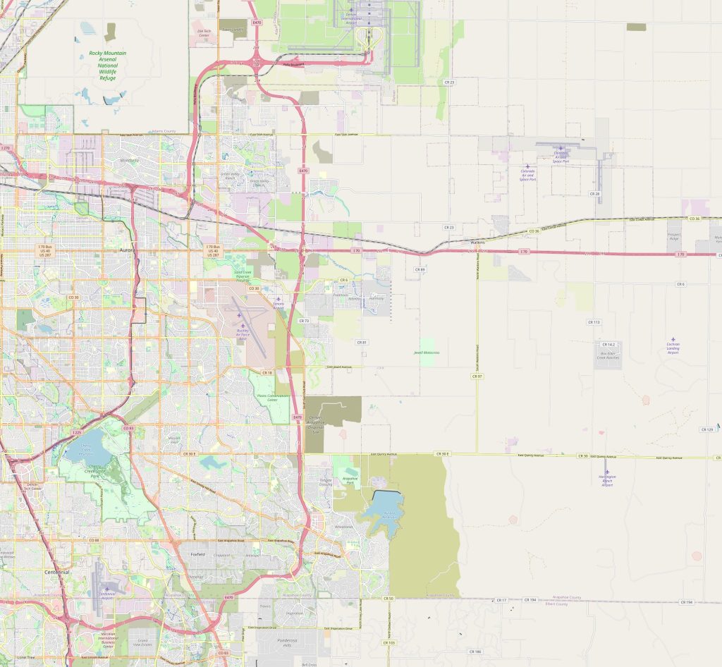
Aurora map, Colorado USA
Map of Aurora, or any other city, can be a useful tool for understanding the city's geography and layout. It can show the location of streets, buildings, parks, and other landmarks, making it easier to navigate and get a sense of the city's overall structure.
Interactive Map of Aurora
Aurora map collection
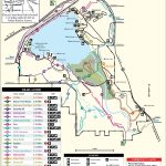
- cherry creek state park map
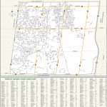
- aurora street map
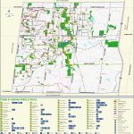
- aurora parks and trails map
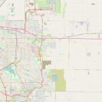
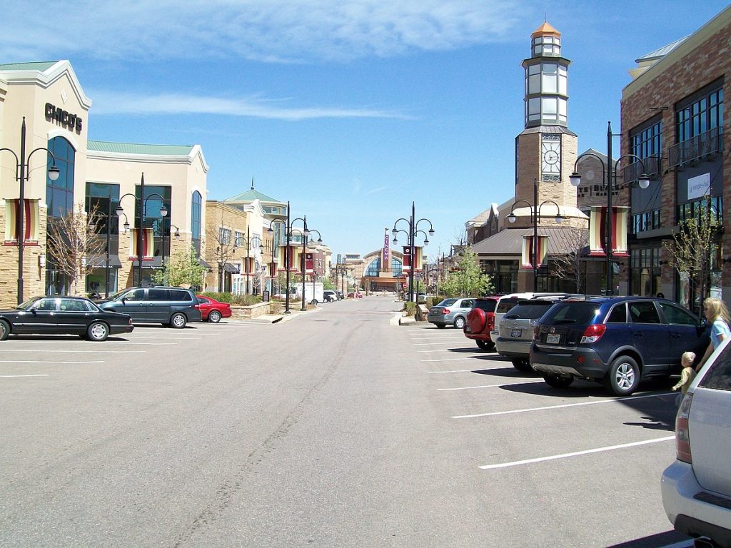 Aurora is located in the Denver-Aurora metropolitan area of Colorado, United States. It lies about 10 miles east of Denver, along the central front range of the Rocky Mountains. It is the third most populous city in Colorado with a population of around 350,000 people. View this map of Aurora with roads, streets and houses.
Aurora political map
The political map of Aurora shows numerous neighborhoods that are divided into several districts – each with its own representative on the city council. The districts are further divided into smaller neighborhoods and precincts. The map also shows major roads and highways as well as parks, schools, and government facilities.
Aurora physical map
The physical map of Aurora displays the terrain and indicates mountains, rivers, lakes, trails and other natural features in the region. It also highlights recreational areas such as golf courses and ski resorts within close proximity to the city limits.
Things to do in Aurora
There’s plenty to do in Aurora! Tourists can explore major attractions such as Heritage Square or Town Center at Aurora Shopping Mall for shopping, dining and entertainment experiences. Visitors can enjoy outdoor activities like camping at Reservoir State Park or take a dip at one of Aurora’s public pools during summer months. Popular annual events include an Independence Day celebration at Utah Park and free outdoor concerts held at various locations throughout the year. The Aurora map is a great tool to avoid getting lost in an unfamiliar city.
Nearest cities & transportation
Denver International Airport is only 9 miles from town center while Buckley Air Force Base is 18 miles away from Aurora’s city limits. The nearest railway station is Union Station located about 10 miles away in downtown Denver while there are multiple highway routes that connect Aurora with other towns throughout Colorado. Some cities near Aurora include Arvada (10 miles), Englewood (7 miles) and Lakewood (9 miles). A map of the surroundings of Aurora will give you the best way to understand the surroundings of the city.
Is Aurora Colorado a good place to live?
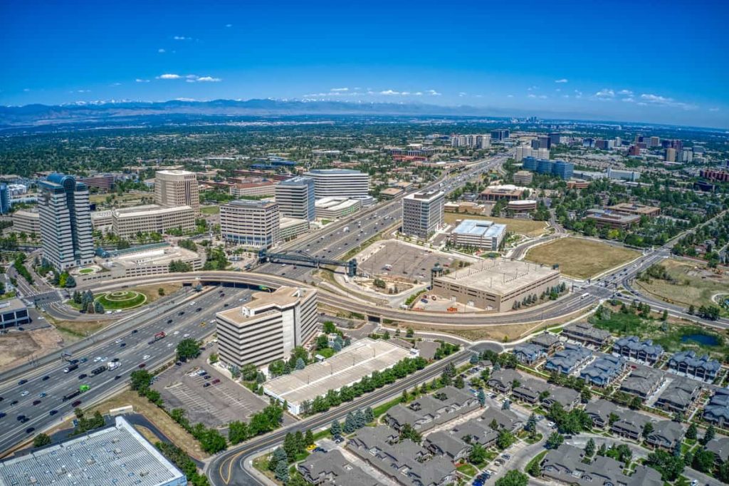 Whether Aurora, Colorado is a good place to live depends on individual circumstances and preferences. Some people might enjoy the city’s proximity to outdoor recreational opportunities, the diverse range of neighborhoods and housing options, and the strong job market. Others might find it more challenging, such as due to high housing costs, traffic congestion, or a perceived lack of amenities.
It is best to research and weigh the various factors that are important to you, such as cost of living, job opportunities, quality of schools, and access to cultural and recreational activities, before making a decision about whether a place is a good fit for you.
 The Guide Maps
