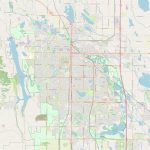
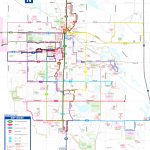
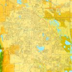
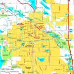
Fort Collins map, Colorado USA
The Fort Collins City Map is the best tool for travelers. Fort Collins is a city located in Larimer County, northern Colorado. It is situated on the Cache La Poudre River along the Colorado Front Range and Rocky Mountains. This vibrant and diverse city is known as 'the Choice City' and it has an estimated population of 171,756 people as of 2021. Fort Collins offers a mix of natural beauty, cultural amenities, lively entertainment and educational opportunities.
Interactive Map of Fort Collins
Fort Collins map collection
- Schematic map of Fort Collins with highways and streets
- Fort Collins transport map
- Fort Collins street map
- Fort Collins road map
- Fort Collins location on Colorado state map
Political map of Fort Collins, Colorado
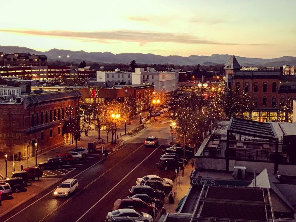 The political map of Fort Collins includes several governmental units within Larimer County such as the incorporated cities of Loveland to the south and Estes Park to the north. Other government entities are Timnath to the east and Wellington to the west. The boundaries of these municipalities are clearly indicated on this map which also shows major highways (I-25 & US 287) that connect them to nearby cities and towns in northern Colorado.
Physical map of Fort Collins, USA
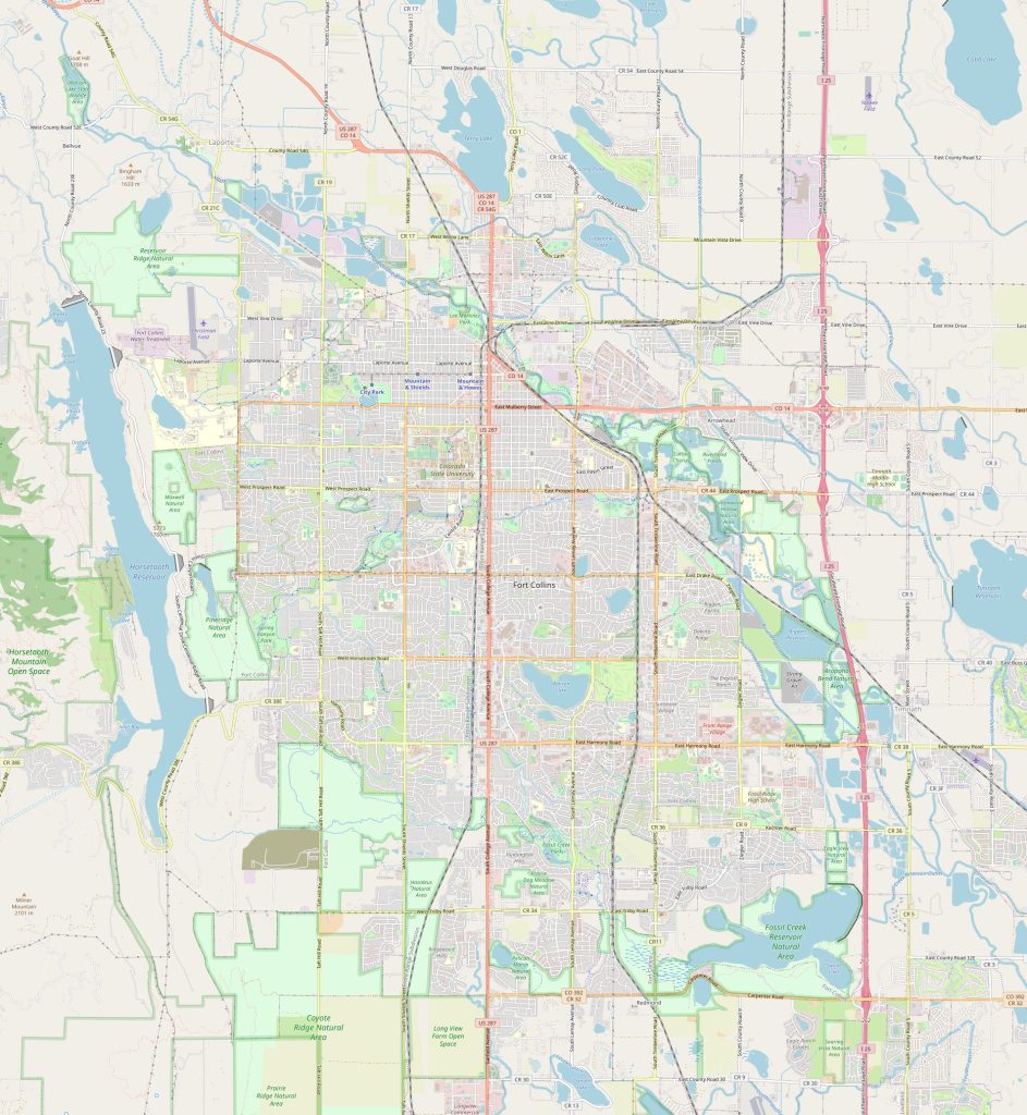 The physical map of Fort Collins reveals its impressive mountain ranges including: Rocky Mountain National Park (RMNP), Roosevelt National Forest (RNF), Mummy Range, Comanche Peak Wilderness Area, Cameron Peak Wilderness Area and more. This region features stunning views from mountains ranging from 9500ft – 13000 ft with plenty of recreational activities encompassing hiking trails, fishing streams and camping sites for visitors to enjoy throughout the year. In addition to this natural beauty there are numerous other attractions including museums and art galleries as well as historic landmarks such as Old Town Square in downtown area that showcase its rich past.
By what landmarks can I find the Fort Collins city on the physical map?
The most prominent landmark that helps identify Fort Collins location on a physical map is Horsetooth Reservoir which lies between Longmont & Loveland near mountainous terrain just north-west of town centre. This large body of water was created in 1949 by damming up a portion of South Fork Little Thompson River & provides outdoor recreation activities like fishing & boating throughout summer months. Additionally one may observe various roads like State Highway 14 meandering through rocky terrain around Horsetooth Reservoir thus providing easy access for road trips or other driving activities near Fort Collins area.
Things to do in Fort Collins, USA?
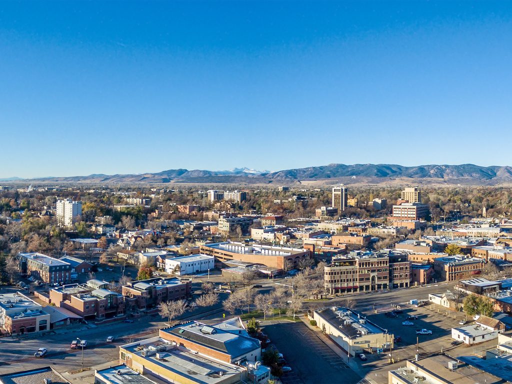 Fort Collins has much to offer for tourists & locals alike with plenty of outdoor adventures awaiting exploration like hiking trails at Horsetooth Mountain Park or kayaking down Poudre River rapids – these offer thrilling experience amidst unrivaled natural beauty surrounded by rocky mountains from all sides! For those looking for something less strenuous there are many historical sites scattered throughout town including stunning architectures from previous centuries such as Avery House – built in 1879 – or Museum Of Natural History housed inside old brick building which also exhibits rare artifacts showcasing Native American history & culture present day Fort Collins area accumulated over decades. With the Map of Fort Collins, you will definitely not get lost.
Name the nearest cities?
If you are writing about nearest cities then specify distance to them: Nearby cities include Loveland (20 miles away), Greeley (32 miles away), Boulder (37 miles away), Denver (52 miles away) and Cheyenne Wyoming (98 miles away). These cities provide great options for weekend getaways or day trips where one can enjoy attractions like amusement parks or local festivals held throughout year. The map of Fort Collins shows the border of the city.
Nearest airport railway station highways
The closest airports include Denver International Airport located 52 miles south & Cheyenne Regional Airport found 98 miles east from Fort Collins city centre where travelers may take flights both domestically & internationally depending on destination! There’s also Greeley Wagner Municipal Airport found 32 miles north providing private jet services for business related travel needs. As for railways there’s no direct rail line connecting Fort Collins with nearby regions but Amtrak bus service runs daily from Denver Union Station towards northern part state carrying passengers straight into town center making transportation ease regardless origin point! Major highways leading towards Fort Collins include I-25 running north/south while US Highway 287 traversing through eastern side town providing access points interconnecting nearby cities mentioned above without difficulty. The Fort Collins road map is a great helper when traveling by car.
Things to do in Fort Collins USA?
When visiting Fort Collins, one must not miss out its nightlife scene – downtown area hosts some happening venues offering live music performances by local artists while later hours bring wild bars & clubs alive till wee morning hours giving visitors memorable experience they won’t soon forget! Shopping isn’t forgotten either with plenty malls lining streets alongside cafe’s & restaurants serving delicious food so visitors will always find something new explore during their stay here! Nature lovers will delight discovering variety animal life scattered across open spaces such elk herds marveling at RMNP Elk.
 The Guide Maps
