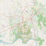
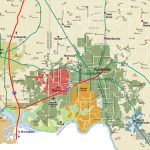
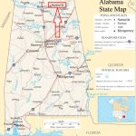
Huntsville map, Alabama USA
Huntsville is located near the center of the southern United States, situated just south of the Tennessee state line and approximately 100 miles north of Birmingham, Alabama. To get a sense of its location, look for the meandering Tennessee River to the north and the majestic Cumberland Plateau to the east. The area is dotted with landmarks that serve as beacons to help you find Huntsville on a map. The Redstone Arsenal, the U.S. Space & Rocket Center, and the Huntsville Botanical Garden are just a few of the must-visit locations that make this city truly one-of-a-kind. In conclusion, Huntsville is a city that promises a rich tapestry of experiences, waiting to be explored. So why wait? Grab a map, and set off on an adventure in this southern gem.
Interactive Map of Huntsville
Huntsville map collection
- Schematic map of Huntsville with highways and streets
- Huntsville area
- Location of Huntsville in relation to the state of Alabama
Where is Huntsville Alabama?
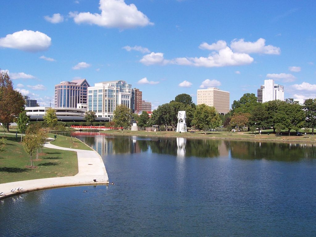 View this map of Huntsville with roads, streets and houses. Huntsville is located in the north-central region of Alabama, near the Tennessee River. It lies just a few miles south of the border between Alabama and Tennessee. The city lies at an elevation of 656 feet above sea level, making it one of the highest points in all of Alabama.
What can be seen on the Huntsville political map?
The political map of Huntsville shows its location within the state as well as numerous other towns and cities nearby. Additionally, one can get a good idea about the highways that traverse through Huntsville such as Interstate 565, US Highway 431, and US Highway 231. Furthermore, several major universities located within a short radius from Huntsville are also visible on the map.
What can be seen on the physical map of Huntsville, USA?
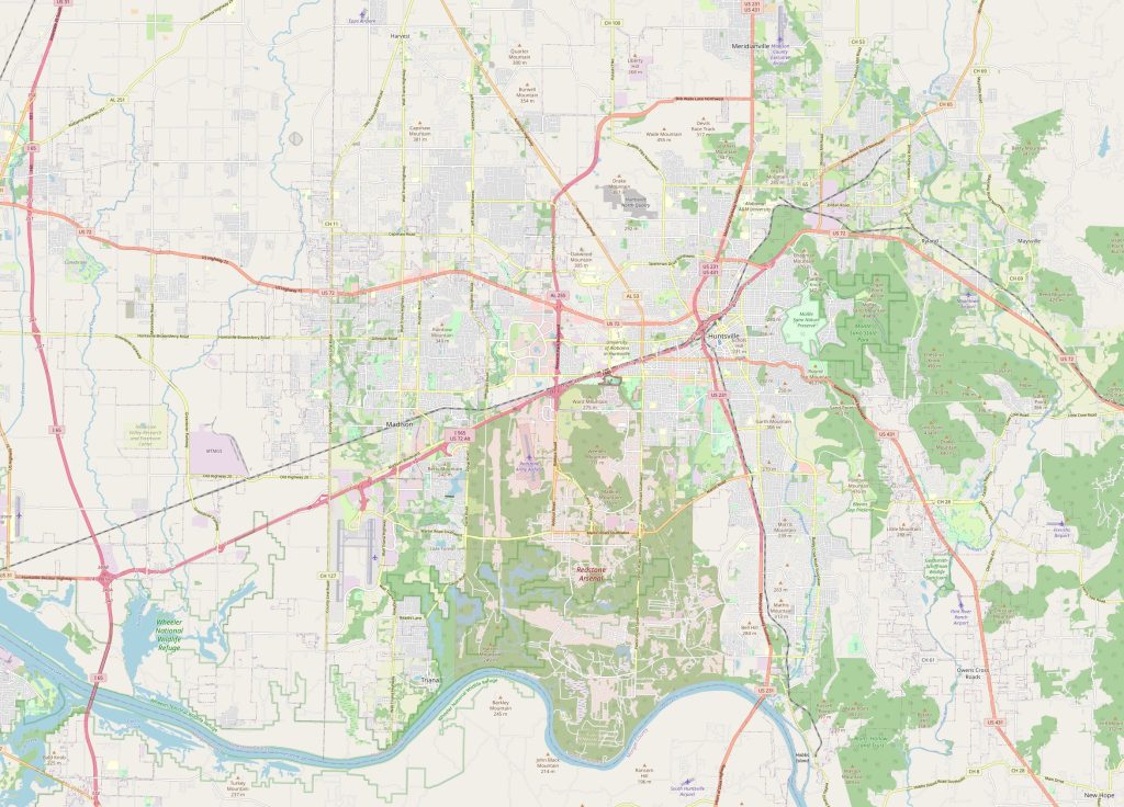 The physical map of Huntsville reveals its natural beauty. Areas like Monte Sano State Park provide a stunning view of limestone cliffs and lush forests while Lake Guntersville provides ample opportunities for boating and fishing activities. One can also observe several other bodies of water such as Flint River, Limestone Creek, Spring Branch Creek, and White Water Creek which add to its scenic beauty. Additionally, numerous rivers wind their way through this region providing residents with even more places to explore nature. The map of Huntsville perfectly shows the shape of the city and its location.
Things to do in Huntsville, USA
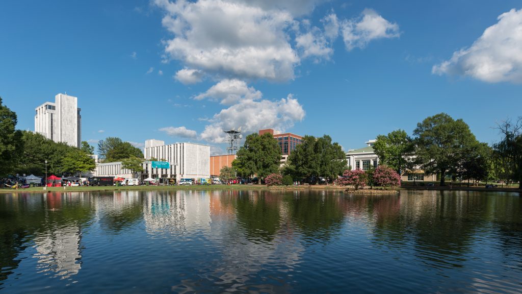 There are plenty of things to discover in this vibrant city! From outdoor recreational activities such as camping or hiking at Monte Sano State Park to visiting local museums or attending concerts at Von Braun Center—the possibilities are endless! Other popular attractions include the U.S. Space & Rocket Center Museum which houses some amazing space artifacts from both past and present missions; Big Spring International Park which offers beautiful views; downtown restaurants for excellent cuisine; botanical gardens for lovely sightseeing; and much more! Embark on a journey of exploration and discovery with a map of the surroundings of Huntsville.
What are the nearest cities?
The nearest cities to Huntsville include Madison (10 miles away), Decatur (17 miles away), Athens (25 miles away), Florence (40 miles away) and Muscle Shoals (50 miles away). All these cities are easily accessible by roadways such as I-565 which runs directly through each city center enabling visitors to conveniently move between them. So why wait? Grab a map of Huntsville and start exploring!
Nearest airport/railway station/highways
The closest airport serving Huntsville is Madison County Executive Airport located just 8 miles away from downtown in Madison city. Rail services are provided by Amtrak station located at 815 Church Street in Decatur which is 17 miles away from Huntsville city center. The main highways traversing through this area include I-565 connecting it with Birmingham (96 miles away) and Nashville (123 Miles Away); US Highway 431 connecting it with Athens (25 Miles Away); US Highway 231 connecting it with Florence (40 Miles Away); and US Highway 72 connecting it with Muscle Shoals (50 Miles Away). Additionally, there are many other smaller roads winding their way throughout this region providing convenient access to all parts of town. With a map of the surroundings of Huntsville, you’ll have the perfect guide to navigate the city and its surroundings.
 The Guide Maps
