Lexington map, Kentucky USA
Explore the charming city of Lexington, Kentucky with ease thanks to a comprehensive map highlighting both its physical and administrative features. Discover the city's rivers, lakes, and creeks as well as its hilly terrain, and find popular landmarks like parks, museums, and historical buildings. Navigate your way around the city with clear markings of main thoroughfares and residential streets. The map also outlines the city limits.
Interactive Map of Lexington
Lexington map collection
- Detailed map of Lexington with highways and airports
- map of lexington fayette kentucky
- Downtown
Where is Lexington?
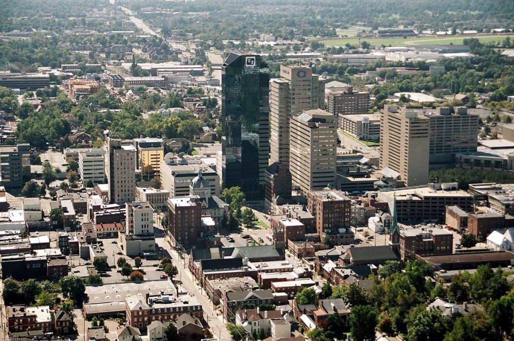 View this map of Lexington with roads, streets and houses. Lexington is a city located in the heart of Kentucky state, in the Eastern United States. It is found along the Kentucky River and situated at the foothills of the Appalachian Mountains. Lexington has been nicknamed “The Horse Capital of the World” due to its strong connections with horse racing and breeding. The city is also well known for being home to several prestigious universities such as Transylvania University, University of Kentucky, and Bluegrass Community & Technical College.
What can be seen on the Lexington political map?
The political map of Lexington shows how this city is divided into different districts. These include Downtown, South End, West Side, North End, East End, and Central Business District (CBD). Other features include major roads like Interstate 64/75 and other transportation facilities like bus stations and airports. Additionally, there are several government buildings including City Hall and County Courthouses along with parks like Masterson Station Park and Triangle Park which are all marked green on the map.
What can be seen on the physical map of Lexington USA?
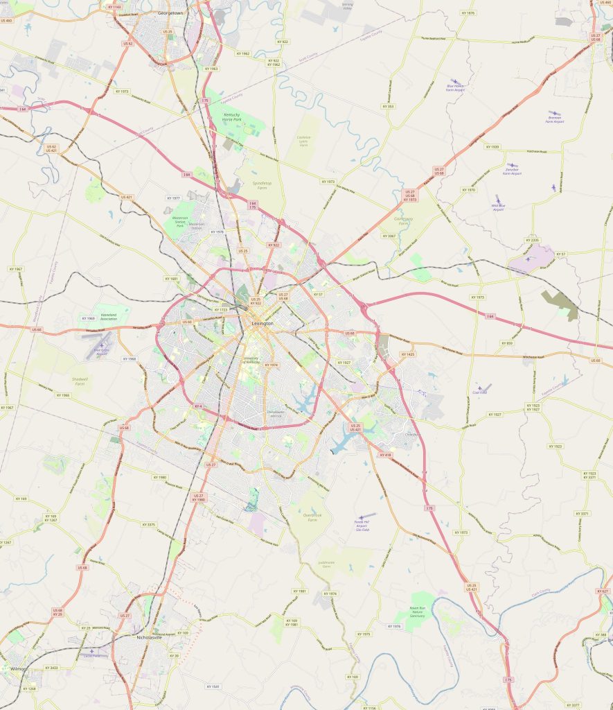 The physical map of Lexington displays various landforms such as hills, valleys, plains as well as bodies of water like rivers and lakes. The area around Lexington is mainly covered in grasslands that are crossed by creeks such as Elkhorn Creek or Silver Creek which eventually join up with larger rivers like Kentucky River. Additionally, there are areas with thick forests along with several mountainous regions in the background – both features clearly visible on this type of map.
Things to do in Lexington USA
There are many fun activities that visitors can enjoy while visiting Lexington such as touring some of its most famous attractions like Keeneland Race Course or taking a stroll through one its many parks like Jacobson Park or Shillito Park. There also museums that house some interesting artifacts such as The Aviation Museum of Kentucky or Lex Arts Gallery where you can find works from local artists. For those looking for more thrilling experiences they can visit Places to Jump Indoor Trampoline Park or Adrenaline Climbing Gym where they will be able to participate in activities like rock climbing or trampolining! The Lexington map is a great tool to avoid getting lost in an unfamiliar city.
What are the nearest cities?
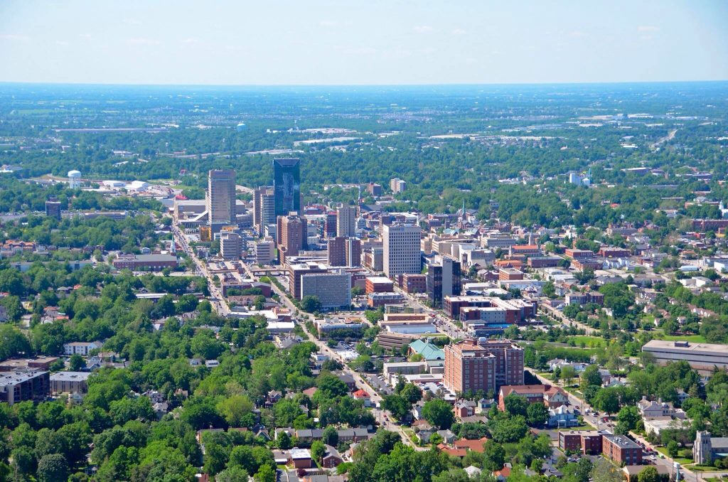 Lexington is surrounded by several cities within close proximity including Louisville (85 miles), Cincinnati (106 miles), Indianapolis (173 miles), Nashville (220 miles). In addition to these larger cities there are also smaller cities nearby such as Winchester (25 miles), Berea (20 miles), Georgetown (28 miles). The reference map of Lexington serves as a starting point in the world of traveling around the city.
What is Lexington best known for?
Lexington has long been known for its connection to horses starting from when it was first founded back in 1775 when William McConnell built his stables here and began raising horses here. This eventually led to horse racing becoming popular in this region and even today you will find numerous racetracks here hosting events throughout the year! Additionally, it was here that Thoroughbred Farms were started which began producing world-famous racehorses bred right here in Kentucky. More recently however, it has become known for being home to some great higher education institutions where students come from across the globe seeking an excellent education! One final thing that makes this city stand out is its vibrant music scene filled with blues-rock bands making it a great place for music lovers alike! A map of the surroundings of Lexington will give you the best way to understand the surroundings of the city.
 The Guide Maps
