New Orleans map, Louisiana USA
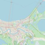
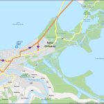
New Orleans is a vibrant city in the southern part of Louisiana known for its rich history, distinctive architecture, vibrant music scene, diverse food culture, and unique festivals and events. Popular attractions include the French Quarter, Bourbon Street, the National World War II Museum, and the Audubon Zoo. New Orleans is surrounded by water, including Lake Pontchartrain to the north and the Mississippi River to the west, and is susceptible to flooding. Map of the surroundings of New Orleans can provide a useful visual representation of the city's location and relationship to its surrounding areas.
Interactive Map of New Orleans
New Orleans map collection
- Detailed map of New Orleans with freeways and airports
- New Orleans Road Map
- New Orleans Map Louisiana
- New Orleans tourist map
- New Orleans tourist attractions
- New Orleans street map
- New Orleans city park map
- New Orleans bike map
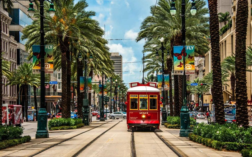 View this map of New Orleans with roads, streets and houses. New Orleans is located in the southeastern region of Louisiana. It lies along the Mississippi River, just south of the border with Mississippi. With a population of close to 400,000 people, it is the largest city in Louisiana.
Political map
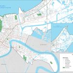
The political map of New Orleans shows its suburbs and other nearby cities in Louisiana, as well as its state boundaries and the Mississippi River. It also highlights the local government districts and wards within the city limits. The political map indicates that most of New Orleans’ suburbs are located on either side of Lake Pontchartrain or along the riverbanks.
Physical map
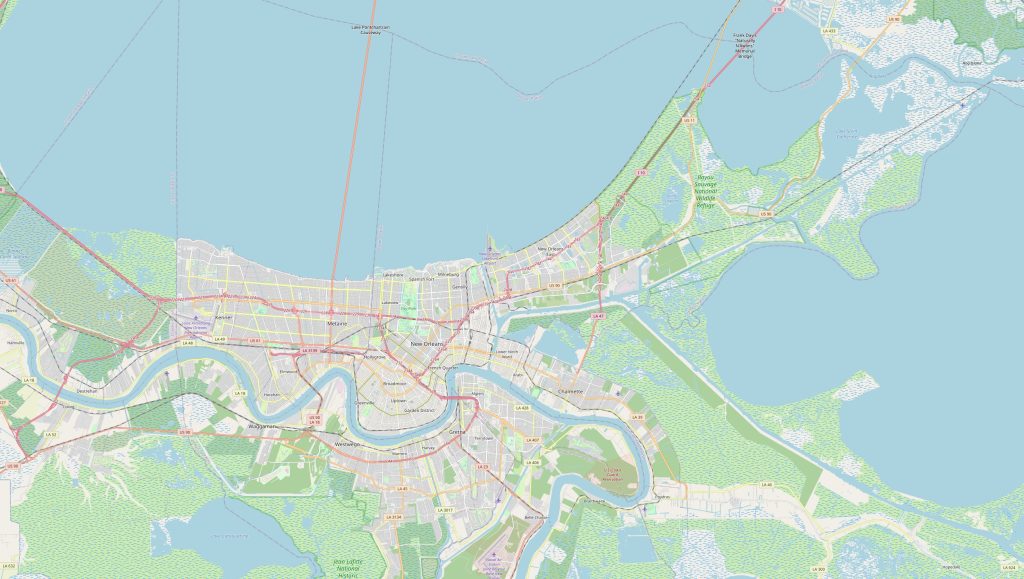 The physical map of New Orleans reveals an area rich with natural beauty and recreation opportunities. The city is bordered by large bodies of water such as Lake Pontchartrain and Bayou St John, while numerous wetlands dot the landscape around it. Several parks can be found throughout New Orleans, including City Park and Audubon Park. The physical map also shows three major highways – Interstate 10, Highway 90 and Highway 61 – connecting the city to other places within Louisiana and neighboring states.
Things to do in New Orleans
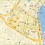
There are plenty of things for travelers to do in New Orleans! Visitors can take a walking tour along Bourbon Street where they’ll find historic architecture from centuries ago intermixed with vibrant nightlife venues; spend a day shopping at one of the many boutiques or antique stores; sample delicious Creole cuisine from some of the best restaurants in town; visit several attractions like Mardi Gras World or St Louis Cathedral; or explore one of many museums like The National WWII Museum or Ogden Museum of Southern Art; or simply lounge around on one of the many beaches near Lake Pontchartrain. The New Orleans map is a great tool to avoid getting lost in an unfamiliar city.
Nearest cities
New Orleans is surrounded by several other cities, each offering something unique for tourists to explore. Slidell is located 30 miles east on I-10 while Baton Rouge lies 70 miles northwest on I-12/I-10 junction – both providing entertainment options that range from zoos to casinos to theater performances. Mobile, Alabama is 80 miles southeast via I-10 while Houston, Texas is 200 miles west via US 59/I-610 junction for those looking for bigger cities with more attractions nearby. The reference map of New Orleans serves as a starting point in the world of traveling around the city.
Nearby airports & transportation hubs
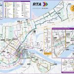
New Orleans International Airport (MSY) is conveniently situated 13 miles west from downtown New Orleans along I-10 so visitors can easily get there by car or taxi service. Alternatively, Amtrak’s Nearest Station – Union Passenger Terminal – provides rail access 12 miles northeast from downtown via Canal Streetcar line 2 alongside Greyhound bus stops at various locations across town if you prefer public transportation services over private ones. A map of the surroundings of New Orleans will give you the best way to understand the surroundings of the city.
The nicest part of New Orleans
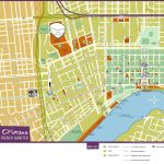
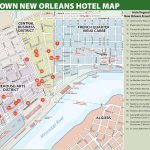
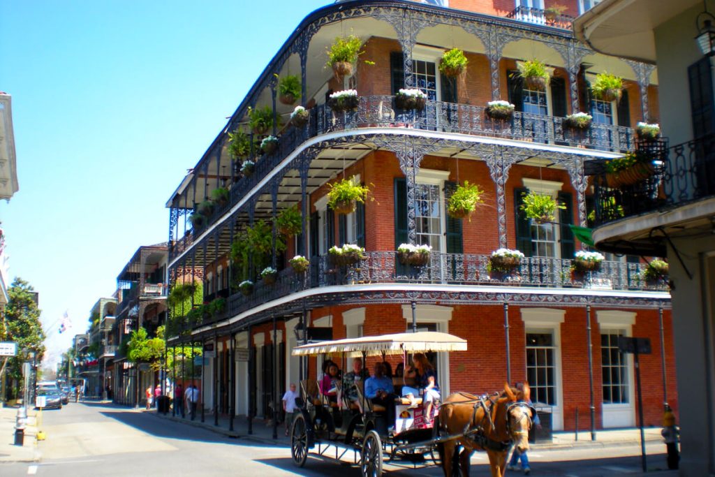 The nicest part of New Orleans has got to be its French Quarter! Here you’ll find spectacular examples of 18th century Spanish architecture mixed with modern institutions like art galleries and jazz clubs that bring this historic neighborhood alive no matter what time it might be during your visit! From cobblestone streets lined up with wrought iron balconies full colorful flowers cascading down them to outdoor cafes serving up delicious food – you’ll certainly be mesmerized by all that this part of town has got to offer!
Most famous street in New Orleans
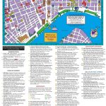
Bourbon Street takes center stage when it comes to famous streets in New Orleans! This iconic stretch runs through the heart of The Big Easy’s French Quarter neighborhood – a place known for its colorful past filled as much with voodoo lore as rowdy parties that have kept locals flocking here since 1721 when Jean Baptiste Le Moyne de Bienville founded it! There’s plenty more than just nightlife though…you can find some great shopping establishments here too – especially those selling souvenirs ranging from masks inspired by Mardi Gras characters all year round through quirky artwork created by local artists!
 The Guide Maps
