Texas map, USA
General map of Texas live
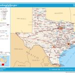
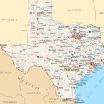
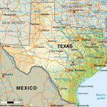
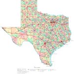
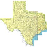
- Political map of Texas with cities and roads
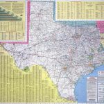
- Detailed map of Texas with cities and roads
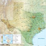
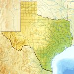
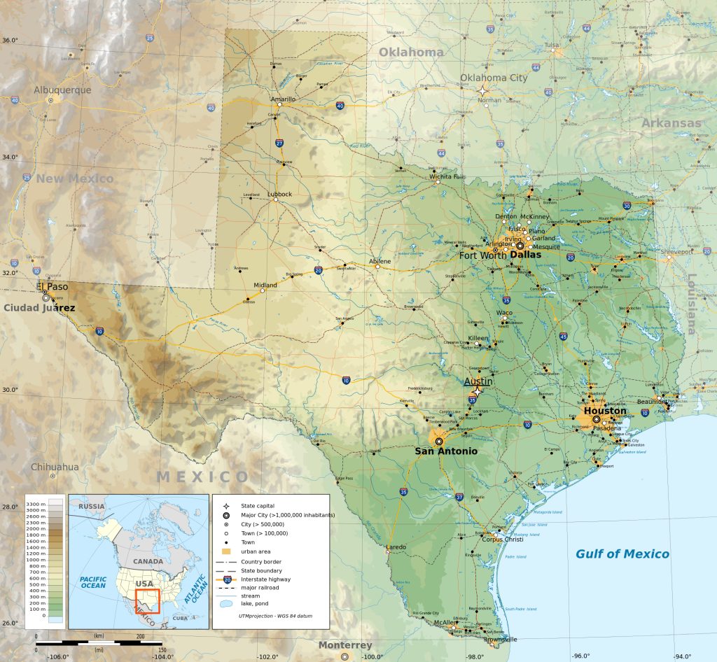
- Physical map of Texas with rivers and relief
- Location of Texas
- Detailed roadmap
- Counties of Texas
- Administrative structure of Texas with borders
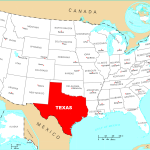
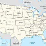
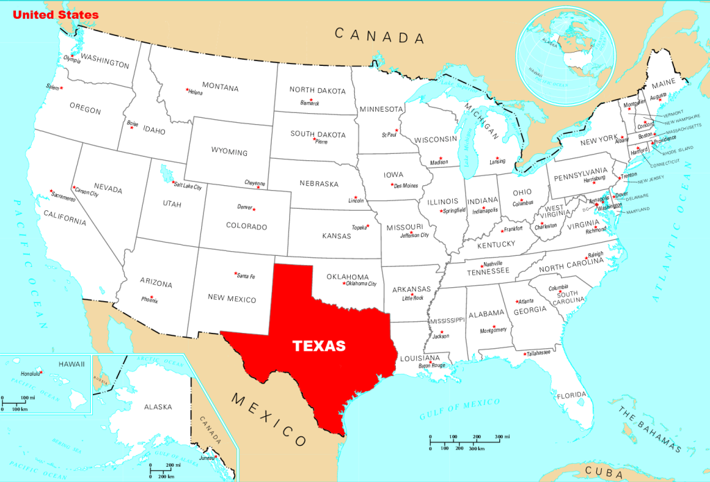
Location of the state of Texas on the US map
Texas is an American dreamland, occupying the second largest area in the United States. The Lone Star State features distinct and historically significant borderlines with four other states plus bustling cities such as Houston, Dallas-Fort Worth, San Antonio and Austin – all connected by a comprehensive highway network for easy exploration. Discover Texas’ culture today!
On a physical map of Texas one can identify dark green areas that represent forests and woodlands; light green areas that represent grasslands; yellow areas representing deserts; white or blue indicating rivers; tan indicating mountains; and lakes in shades of blue. A few notable landmarks that are included on most maps are Big Bend National Park in southwestern part of Texas along the Rio Grande River; Balcones Canyonlands National Wildlife Refuge near Austin which is home to several endangered species; Cascade Caverns near San Antonio; The Alamo in San Antonio which is a major landmark from the 1836 Battle for Texan Independence from Mexico.
Physical map of Texas with rivers and relief
Overall, Texas has a variety of landscapes ranging from subtropical wetlands along its coast in southeastern region to arid desert regions further inland. It also contains several mountain ranges including Guadalupe Peak (the highest point in Texas) located in West Texas near El Paso. In addition to these features on a physical map, many counties contain smaller cities such as Lubbock and Amarillo in the Panhandle region or Waco and College Station near Austin are clearly visible.
An interesting natural attraction of Texas is the embankment in San Antonio in Texas.
In order to understand from the map where the embankment is located in San Antonio, Texas, it is important to take a look at the geographic layout of the city. The city as a whole is located in South Central Texas on the Balcones Escarpment. This escarpment physically divides north and south sections of San Antonio. On the map, one can identify this escarpment by looking for an abrupt change in elevation from north to south, which will likely be noted by a dashed line or black curve. Once this feature has been identified, one can then look for an area near this feature that is designated as an embankment. This section of land will generally be thicker than surrounding areas and may have additional features such as bridges or pathways that lead to it; these features will also be indicated on most maps of San Antonio. By taking a closer look at the map and familiarizing oneself with how land features are represented there, one can easily locate the embankment in San Antonio, Texas.
| № | Locality | State | Coordinates | Stations |
|---|---|---|---|---|
| 1 | Wimberley | Texas | - | 0 |
| 2 | Walden on Lake Houston | Texas | - | 0 |
| 3 | Southlake | Texas | - | 0 |
| 4 | Socorro | Texas | - | 0 |
| 5 | Seabrook | Texas | - | 0 |
| 6 | Santa Fe | Texas | - | 0 |
| 7 | San Benito | Texas | - | 0 |
| 8 | Sabine Pass | Texas | - | 0 |
| 9 | Rowlett | Texas | - | 0 |
| 10 | Rosenberg | Texas | - | 0 |
| 11 | Rockport | Texas | - | 0 |
| 12 | Robstown | Texas | - | 0 |
| 13 | Rio Hondo | Texas | - | 0 |
| 14 | Rio Bravo | Texas | - | 0 |
| 15 | Red Oak | Texas | - | 0 |
| 16 | Rangerville | Texas | - | 0 |
| 17 | Quail Hollow | Texas | - | 0 |
| 18 | Quail Creek | Texas | - | 0 |
| 19 | Progreso | Texas | - | 0 |
| 20 | Portland | Texas | - | 0 |
| 21 | Port Arthur | Texas | - | 0 |
| 22 | Ponderosa Forest | Texas | - | 0 |
| 23 | Deep Well Crossing (historical) | Texas | - | 0 |
| 24 | Pittsburg | Texas | - | 0 |
| 25 | Pharr | Texas | - | 0 |
| 26 | Pecan Park | Texas | - | 0 |
| 27 | Pampa | Texas | - | 0 |
| 28 | Palacios Estates Colonia | Texas | - | 0 |
| 29 | Oak Cliff | Texas | - | 0 |
| 30 | Midlothian | Texas | - | 0 |
| 31 | Mexia | Texas | - | 0 |
| 32 | McAllen | Texas | - | 0 |
| 33 | Los Indios | Texas | - | 0 |
| 34 | Lockhart | Texas | - | 0 |
| 35 | Lindale | Texas | - | 0 |
| 36 | Langston Place | Texas | - | 0 |
| 37 | Lake Jackson | Texas | - | 0 |
| 38 | La Feria | Texas | - | 0 |
| 39 | Killeen | Texas | - | 0 |
| 40 | Kerrville | Texas | - | 0 |
| 41 | Abilene | Texas | - | 0 |
| 42 | Plano | Texas | - | 0 |
| 43 | Corpus Christi | Texas | - | 0 |
| 44 | El Paso | Texas | - | 0 |
| 45 | Fort Worth | Texas | - | 0 |
| 46 | San Antonio | Texas | - | 0 |
| 47 | Houston | Texas | - | 0 |
| 48 | Austin | Texas | - | 0 |
| 49 | Dallas | Texas | 32.75055033996859, -96.75803227902234 | 0 |
 The Guide Maps
