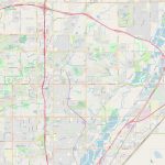
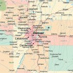
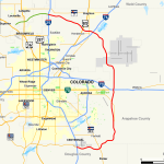
Thornton map, Colorado USA
The Thornton City Map is the best tool for travelers. Thornton, Colorado is a city located in Adams County, about 10 miles Northeast of Denver. It has a population of around 140,000 people and is considered to be one of the fastest-growing cities in the state. Thornton’s location makes it an ideal destination for those who want to enjoy mountain views while still having easy access to the city.
Interactive Map of Thornton
Thornton map collection
- Schematic map of Thornton with highways and streets
- Thornton location on Colorado state map
Political map of Thornton
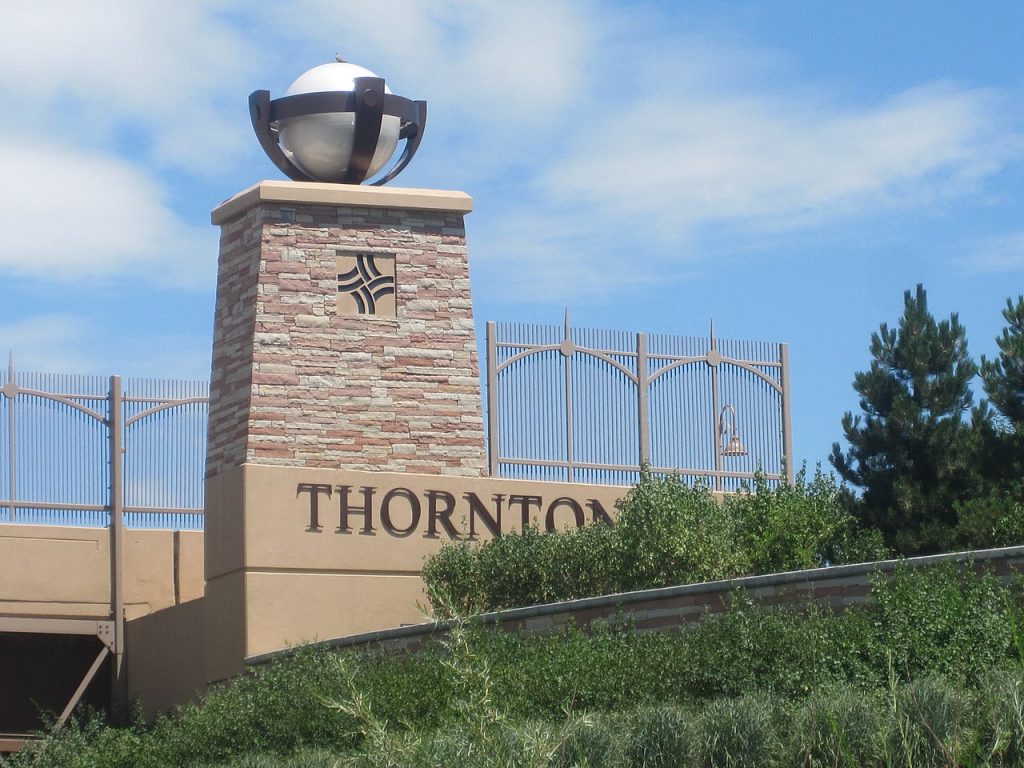 The political map of Thornton shows its boundaries and borders as well as its neighboring cities of Westminster, Northglenn, Broomfield, and Commerce City. It also shows major roads such as I-25 and US Highway 36 that pass through or near the city. On this map you can see the city limits with its parks, schools, hospitals and other landmarks marked. With the Map of Thornton, you will definitely not get lost.
Physical map of Thornton
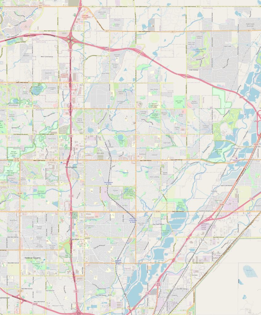 The physical map of Thornton features elevations above sea level for each area within the city limits. There are also small creeks, ponds and lakes that flow through the city limits and several golf courses throughout the region are visible on this map as well. Many parks and greenbelts can be observed on this type of map in addition to roads that connect different regions within Thornton.
By what landmarks can I find the Thornton city on the physical map?
On a physical map you will find Thornton by looking for various landmarks like churches, schools, parks and recreational facilities. In addition to these landmarks there are several prominent mountains including Stanley Lake Regional Park which is located just outside of town. The north side of town has several residential neighborhoods with their own individual parks while commercial developments line both sides of I-25 which runs south from the center of town towards Denver International Airport (DIA).
Things to do in Thornton USA?
Thornton offers plenty to do for everyone! From outdoor activities like camping at Stanley Lake Regional Park or fishing in one of its many ponds, to shopping at nearby malls including Flatiron Crossing Mall and Boulder Creek Marketplace Mall just minutes away from downtown! For cultural experiences visit The Museum of Outdoor Arts or attend one of their free concerts held every week during summer months! If you’re into sports then check out any number basketball courts or soccer fields throughout town! Or catch a football game at Dick’s Sporting Goods Park! The map of Thornton shows the border of the city.
Name The Nearest Cities?
The nearest cities surrounding Thornton include Westminster (7 miles), Northglenn (3 miles), Broomfield (5 miles) and Commerce City (10 miles). All four cities offer plenty activities such as hiking trails, public pools, shopping centers and museums/art galleries making them great day trip destinations from Thornton!
Nearest airport railway station highways?
Denver International Airport – DIA is located just 19 miles south from Downtown Thornton via I-25 route respectively. There is also an Amtrak station located at Union Station in Denver making train travel convenient from downtown Denver to Downtown Thornton. As mentioned before rail transportation can be done conveniently via Union Station. When it comes to highways, two major highways I-25 & US 36 provide connectivity between these two points. The Thornton road map is a great helper when traveling by car.
 The Guide Maps
