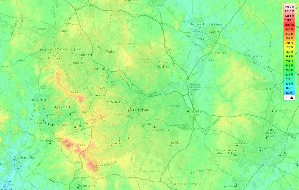
Birmingham topographic map
Terrain, elevation and landscape map
Birmingham, located in the state of Alabama, is known for its rolling hills and diverse topography. The highest elevation in Birmingham is Red Mountain, which stands at 1025 ft (312 m) above sea level. The average elevation rests at 600 ft and the lowest elevation is 500 ft around Jones Valley.
The city’s landscape is defined by its many hills, ravines and river valleys created by the two predominant rivers that flow through it: the Black Warrior River and the Cahaba River. This unique topographic feature has given birth to some of Birmingham’s most iconic attractions such as the Vulcan Park, Red Mountain Park and Ruffner Mountain Nature Preserve.
At our site you can find a free online topographic map of Birmingham that contains all pertinent geographic information including designations of height (in meters) as well as other important attributes such as landform types, hydrographic features, transportation networks etc. Furthermore, this detailed map offers an interesting insight into the character and history of Birmingham with its depictions of historical landmarks like Sloss Furnaces National Historic Landmark or Kelly Ingram Park National Register District. These sights bring not only an educational value but also add a zest to your visit – making it truly unforgettable!
 The Guide Maps
