Colorado topographic map
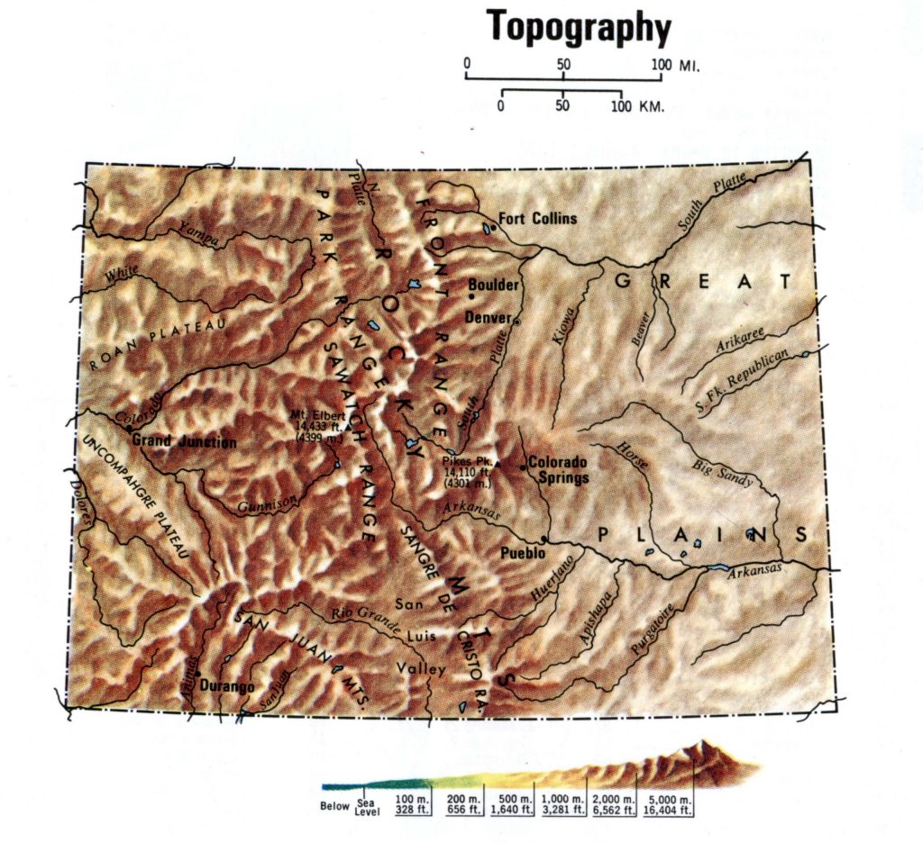
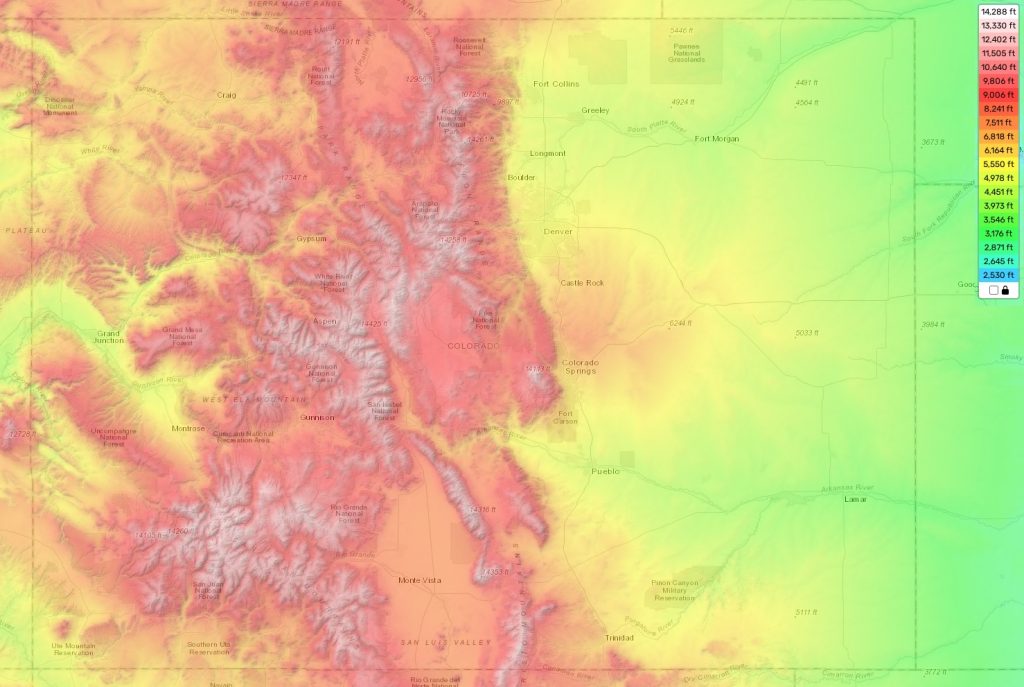
Terrain, elevation and landscape map
At theguidemaps we provide an online topographic map tool that includes detailed height markings for every location in Colorado making it easy for anyone to explore this fascinating land.
Colorado is a state in the United States of America located in the mountainous western region of the country. It boasts an impressive variety of terrain, with its highest elevation being Mount Elbert at 14,440 feet and its average elevation being 6,800 feet above sea level. Colorado’s lowest point is where the Arikaree River meets Kansas on the eastern border at 3,317 feet.
The topography of Colorado is quite diverse; it ranges from towering snow-capped peaks to vast open meadows and expansive shrublands. The Rocky Mountains traverse through the state, offering spectacular views and iconic elevations such as Longs Peak (14,255 ft.) and Pikes Peak (14,110 ft.). Colorado is also home to numerous other noteworthy mountain ranges including The Sangre de Cristo Mountains and La Garita Mountains of southwestern Colorado.
In addition to soaring heights, Colorado has immense foothills that are a playground for outdoor enthusiasts seeking trails and natural beauty. These foothills provide plenty of opportunities for hiking, camping, fishing, whitewater rafting, and much more!
Our free topographic maps also feature important attributes such as terrain data points that let you experience a realistic visual representation of the country’s landscape!
| № | Locality | State | Coordinates | Stations |
|---|---|---|---|---|
| 1 | Boulder | Topography Colorado | - | 0 |
| 2 | Centennial | Topography Colorado | - | 0 |
| 3 | Greeley | Topography Colorado | - | 0 |
| 4 | Pueblo | Topography Colorado | - | 0 |
| 5 | Westminster | Topography Colorado | - | 0 |
| 6 | Arvada | Topography Colorado | - | 0 |
| 7 | Thornton | Topography Colorado | - | 0 |
| 8 | Lakewood | Topography Colorado | - | 0 |
| 9 | Fort Collins | Topography Colorado | - | 0 |
| 10 | Aurora | Topography Colorado | - | 0 |
| 11 | Colorado Springs | Topography Colorado | - | 0 |
 The Guide Maps

