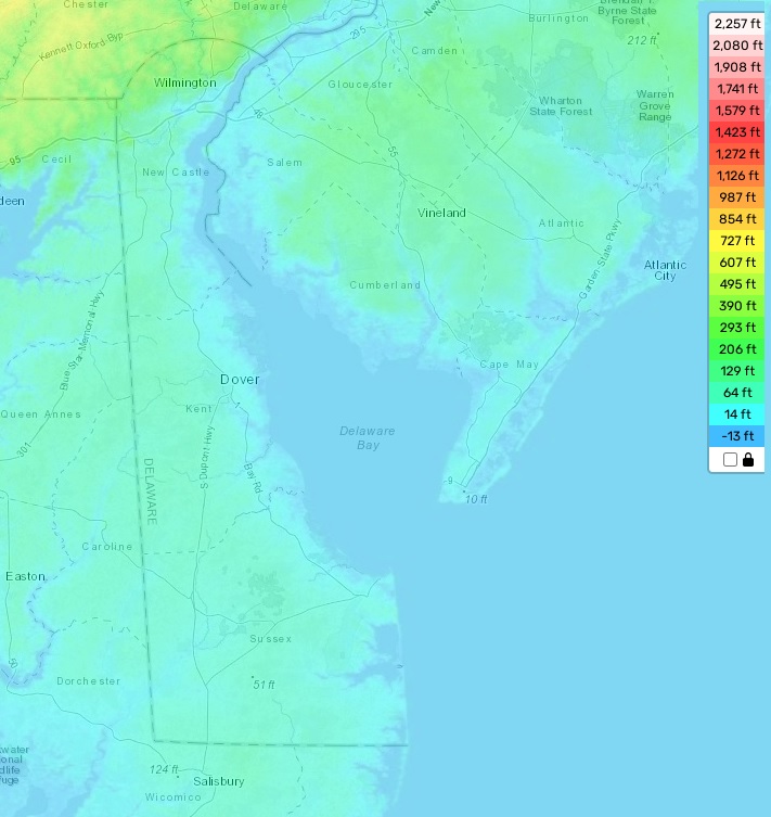
Delaware topographic map
Terrain, elevation and landscape map
Delaware is a small state located in the United States on the East Coast. Its topography is generally flat with low rolling hills and some marshlands, but there are several distinctive features as well. The highest elevation point in Delaware stands at 447 feet above sea level and is found near Ebright Azimuth. The average elevation of Delaware is just 60 feet above sea level, with the lowest point being at sea level near Fenwick Island. On our online topographic map, you can find designations of heights and other important attributes that give you an accurate picture of the topography of Delaware. This is especially helpful when exploring the state’s unique features, like its first-magnitude springs, or its wetland habitats that draw in migratory birds during spring and autumn months. With our free and easy-to-use map, you can explore all the features Delaware has to offer!
 The Guide Maps
