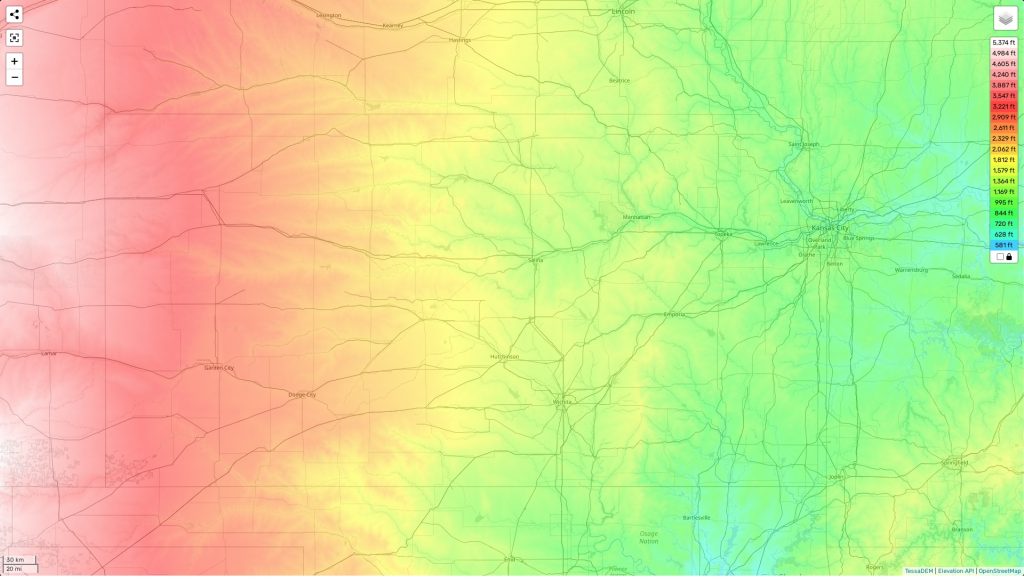
Kansas topographic map
Terrain, elevation and landscape map
The topography of Kansas is characterized by a mix of rolling hills and plains. Its highest elevation is Mt. Sunflower at 4,039 feet (1,231 m) above sea level, located in Wallace County at the western tip of the state. The average elevation across Kansas is around 2,000 feet (610 m), while its minimum elevation is 899 feet (274 m).
Kansan topography also includes unique features such as Monument Rocks National Natural Landmark – consisting of 70-foot tall chalk formations – in Gove County. The area is home to numerous rivers and lakes, including Lake Manitou – the state’s deepest lake. Flinthills provide some of the most scenic landscapes found in Kansas, covering nearly 400 acres near Cassoday with beautiful rolling hills that are ideal for hiking and camping outdoors.
Our site provides a free online topographic map that includes designations of heights and other information about the area. On our map you can easily view major features such as highways, cities, mountain ridges and valleys which will help you plan your route or explore this amazing landscape.
 The Guide Maps
