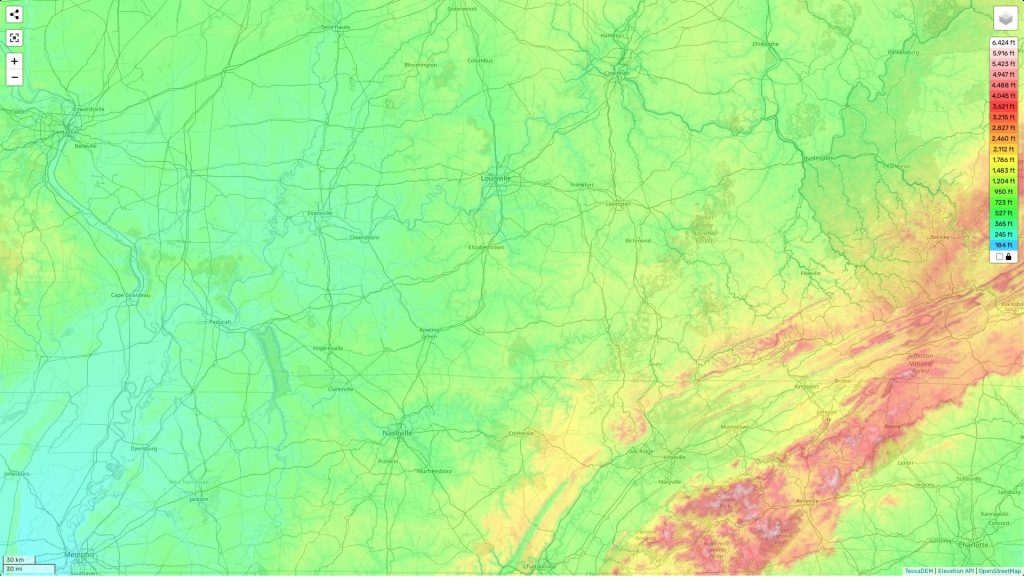
Kentucky topographic map
Terrain, elevation and landscape map
The topography of Kentucky is highly diverse and includes forests, grasslands, wetlands, and numerous rivers and streams. The highest elevation in the commonwealth is located at Black Mountain at 4,145 feet above sea level. The average elevation across the state is 800 feet above sea level. The state’s lowest point is along the Mississippi River at an elevation of 257 feet above sea level. Kentucky has many unique natural features, such as the Mammoth Cave National Park, one of the longest caves in the world with over 400 miles of surveyed passages. It also contains a number of scenic lakes and rivers including Lake Cumberland and the Ohio River. Our site provides a topographic map online for free, which allows users to visualize elevations and other important attributes in detail. There are designations that mark heights and contours of the land over different areas, providing valuable insight to help plan trips or understand terrain-dependent activities like hunting or farming. In addition to its height differences, Kentucky’s topography also consists of numerous rolling hills and valleys that span across its landscape making it a great destination for outdoor activities like hiking, camping, fishing and more!
 The Guide Maps
