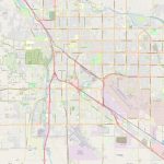
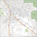
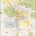
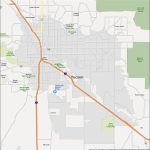
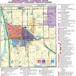
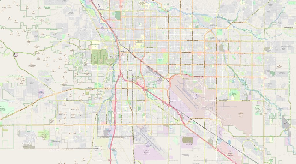
Tucson map, Arizona USA
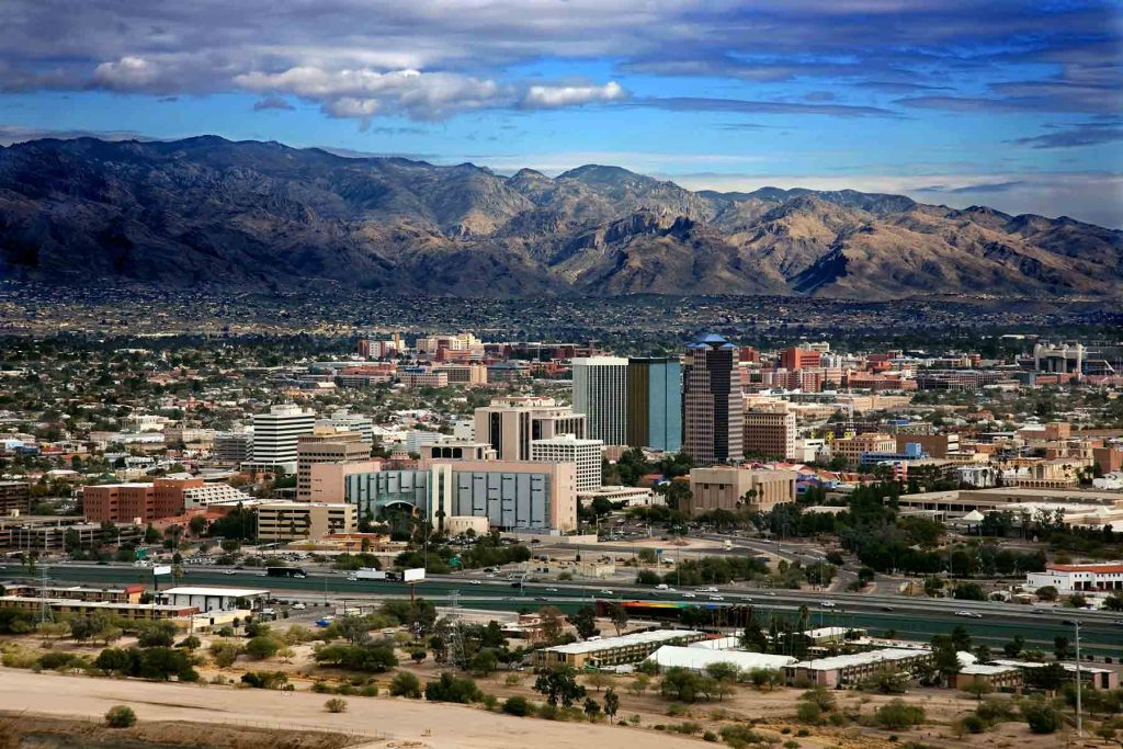
Tucson is a city in the southern part of Arizona, located in the Sonoran Desert. It is bordered by the Santa Catalina Mountains to the north and the Rincon Mountains to the east. The political map of Tucson shows its boundaries and the neighborhoods within it. The physical map highlights the city's terrain, including mountains, deserts, and waterways.
Interactive Map of Tucson
Tucson map collection
- Schematic map of Tucson with highways and airports
- Tucson Road Map
- Tucson metro map
- Tucson Map Arizona
- Central part of Tucson
Where is Tucson?
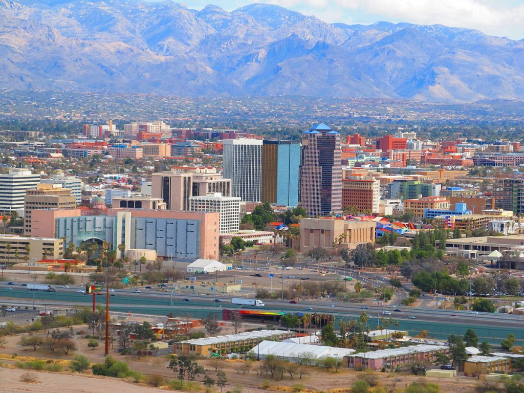 View this map of Tucson with roads, streets and houses. Located in the state of Arizona, USA, Tucson is a city of perfect climate and scenery. Set against the backdrop of the lush Sonoran desert, Tucson stands as a major tourist destination at the foothills of the magnificent Catalina Mountains. It is roughly 80 miles northwest from Mexico’s border and 70 miles southeast from Phoenix.
What can be seen on the political and physical map of Tucson, USA?
The political map of Tucson consists of several cities that are governed by Pima County. These include Oro Valley, Marana, Sahuarita, as well as South Tucson and Vail. The physical map shows the beautiful mountains that adorn this area along with its many rivers and lakes such as the Santa Cruz River and Lake Mary. The reference map of Tucson serves as a starting point in the world of traveling around the city.
Things to do In Tucson, USA
No matter what your interests are, you’ll find something to do in Tucson! If you’re into outdoor activities there’s hiking trails, golf courses, hot-air balloon rides and more. Or if you’re more of a culture enthusiast you can take part in festivals like All Souls Procession or visit museums like Arizona State Museum or Center for Creative Photography. There’s also plenty of dining options with a wide variety of cuisines ranging from Mexican to Italian to Asian fusion dishes. Additionally nearby attractions such as Biosphere 2 or Kartchner Caverns make it easy to explore different parts of Arizona within an hour’s time.
Surrounding towns and airports
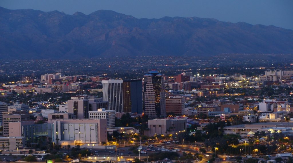 The nearest towns are approximately 10-30 minutes away from downtown Tucson depending on which one you choose to visit first (e.g., Green Valley). The closest airport is located in Marana which takes 15-20 minutes by car to reach while Phoenix Sky Harbor International Airport is 110 miles away via I-10 Eastbound Highway. Train stations are also available near downtown with Amtrak Routes running between Los Angeles and New Orleans stopping at local stations like Maricopa and Benson along with other major cities in Arizona.
Yes, absolutely! A map of Tucson can help newcomers get a sense of the city’s layout, including its major roads, landmarks, and neighborhoods. This can be particularly helpful for avoiding getting lost and finding one’s way to desired destinations. Having a map can also provide valuable information about the location of key amenities such as grocery stores, restaurants, and tourist attractions.
Is moving to Tucson a good idea?
Moving to Tucson could be an ideal choice for those seeking an active lifestyle surrounded by nature yet still convenient enough for daily commutes to larger cities for business opportunities or pleasure trips! With its pleasant climate all year round along with plentiful recreational activities like horseback riding or strolling around town it’s no wonder why many people have chosen this area as their home away from home! Furthermore, given its proximity to Mexico’s border makes it an attractive option for those who want access to international markets while still having peace of mind knowing they’re safe within US borders. A map of the surroundings of Tucson will give you the best way to understand the surroundings of the city.
How far is Tucson from Mexican border?
Tucson is roughly 80 miles northwest from Mexico’s border which takes around 1½ hours, drive via I-10 Westbound Highway.
Having a map of the streets in Tucson can be extremely helpful in navigating the city. Street maps provide detailed information on the location and names of streets, as well as their arrangement in relation to each other. This makes it easier to find the right street and reach a desired destination, especially if you are unfamiliar with the area.
Is Tucson a good city to live in?
 Yes! Despite being one of the fastest growing cities in America due to its strong economy year after year it has managed to keep its unique charm intact thanks largely due marvelous parks like Tohono Chul Park where visitors can take part in bird watching activities amidst scenic nature trails! Its low crime rate also makes this area desirable for families wishing for a safe place to raise their children without having worry about potential threats! Education wise, there are top ranked public schools nearby along with prestigious universities that provide high quality education systems making it easier than ever before for students seeking higher education degrees here!
 The Guide Maps
