Michigan map, USA
General map of Michigan live
-

- Michigan road map

-

- Map of Lower Peninsula of Michigan

-

- Map of Upper Peninsula of Michigan

The state of Michigan ( Mishigami or “big water” – from the language of the Ojibwe Indians ) is one of the sovereign administrative units of the US state on the continent of North America. Search for Michigan on a geographical map or globe is in the Midwest of the country. A good border neighbor is Canada. Among its 50 counterparts, it stands out with a collection of famous nature reserves, national parks, forests, external and internal lakes, fast and slow rivers. Record holder for the number of reservoirs in the area. According to statistics, their number is close to 65 thousand. It keeps a high level of popularity among the tourist public due to the uniqueness of its geographical location. Not every region on the planet can boast of possessions located immediately on 2 neighboring peninsulas separated by a waterway. Everyone wants to see this miraculous miracle with their own eyes.
History of Michigan
Thousands of years ago, during the “gray” antiquity, the first natives in the area were Indians. The timing of further events is best combined into a list:
- by the time of the first visit to the mainland by Europeans, the key Indian tribes in the lands of Michigan were the Huron, Ottawa, Chippewa , and Potawatomi ;
- Etienne became the discoverer of the picturesque beauties Brule in 1622;
- Marquette created a certain European community of Sault Sainte-Marie here in 1668 , the goal is missionary work with far-reaching plans, forever “subjugate” the legitimate indigenous population;
- given the endless number of reservoirs in these parts in 1679, thanks to the efforts of another Frenchman, Robert yes la Salle , the construction of sailing ships begins for the development of the nearest large lakes;
- the starting point for the rapid development of the future state of Michigan was the construction of Fort Detroit in 1701;
- the middle of the ХΥΙΙΙ century was marked by a seven-year war between France and England for the right to own these colonies on the American continent, the English crown won, there was a change of power;
- the next fateful moment for Michigan was the American War of Independence (1775-1983), a little later in 1794 the resistance of the Indians and the missionaries living here was finally suppressed;
- the official status of “Territory of Michigan” was awarded by the winners to the region in 1805;
- from 1812 to 1815, the position of the local administration became precarious several times, the British now and then again conquered these lands from the natives, now during the armed conflict between the 2 powers America and Great Britain;
- a new era of prosperity fell on the 30s of the 19th century , a stream of immigrants poured into the territory of Michigan, attracted by the rapid development of the region, the construction of the significant Erie Canal, the growth of industry and the development of agricultural land;
- in 1835, the constitution of the state of Michigan was unconditionally adopted; due to some legal disagreements with the state of Ohio, the new territorial unit of the state entered the common detachment of the American states only in 1837.
Residents of Michigan took an active part in the fighting between the South and the North during the era of the Civil War (1861-1865). At that time, almost 15% of the fighters did not return home from the battlefields.
On the global industrial scene, the state of Michigan is widely known for the presence on its territory of the industrial facilities of the legendary automobile manufacturer Henry Ford. Mark General Motors knows the whole planet.
Location of the state of Michigan on the US map
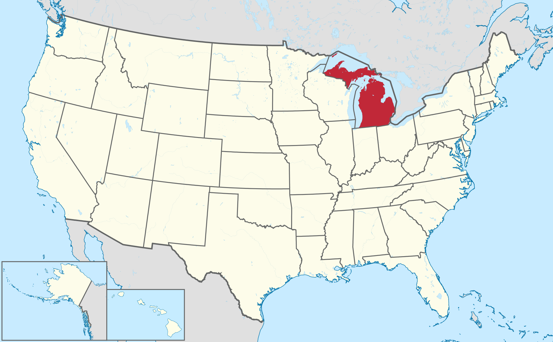
Location map of Michigan in the US.
Looking at Michigan on a map, you immediately see that its location is the epicenter of the Great Lakes. In the United States itself, these territories are defined by one phrase – the Midwest. Formed by the duo of Upper and Lower Lakes, Michigan is divided into 5 regions-subjects of equal rights. Their names are consonant with the location: North, Southeast, West, Central Michigan and the Upper Peninsula.
It’s amazing, but it so happened that 41.3% of the state’s area is occupied by reservoirs from impressive lakes, three hundred rivers to miniature ponds. Residents of the 2 main peninsulas can visit each other on the Mackinac Bridge , and most of the smaller islands are connected by excellent transport links.
Michigan state borders
The northern and eastern possessions of Michigan border on neighbor Canada. Other regions of the state are not deprived of conditionally border lines:
- the south of the picturesque outskirts is in contact with the states of Ohio and Indiana;
- the western territories of the land of the Lower Peninsula and part of the water surface of Lake Michigan share land with the states of Wisconsin and Illinois;
- affects close proximity to other states and the Upper Peninsula, along with the lake of the same name, here hand in hand exist on the map and “live” another piece of Wisconsin and Minnesota.
Canadian fishermen from the province of Ontario can boast that, together with their closest neighbors from the state of Michigan, they catch commercial fish in lakes Huron, Superior, the St. Marys and St. Clair rivers . The length of the entire coastline has long been the champion among the “land” staff units in terms of mileage. It is neither more nor less than 5200 km.
Relief and climatic realities
The abundance of reservoirs of all stripes has a natural indirect effect on the climate of Michigan. Type – humid continental. The highest temperatures in summer are typical for the Central region and the south near the Lower Peninsula. In other places, moderately warm summers, moderately severe winters. Starting from January and ending in March, snow “raids” associated with the influence of the army of lakes are not uncommon. Reservoirs diligently generate a string of fluffy clouds filled to the brim with moisture. The slightest fluctuation in environmental conditions and all this mass of water pours down on the ground as rain or covers the territory with a snow cover.
The terrain of Michigan is not boring. There is everything: plains, miniature hills, plateaus of the Laurentian Upland. All these smooth and wavy surfaces are dotted with lines of rivers, “drops” of lakes and ponds, a constellation of islands. The water in the reservoirs, even in the hot summer in the south, is not really warm and comfortable, which, however, does not bother either numerous tourists or local bathers. Both fishing and beach activities are held in high esteem here.
Major cities of Michigan on the map
If someone came up with the idea to compile the top important settlements of the US administrative unit – the state of Michigan, the soloists in this choir would be such objects as the capital of the Lansing region , industrial Detroit, the cities of Grand Rapids , Holland , Saginaw , Muskegon , Milwaukee, Kalamazoo , Sault Ste. Marie , Warren, Sterling Heights .
Lansing
Location – Central region, the meeting point of 2 rivers: Grand River and Red Cedar . The first of them is considered one of the largest and most significant in Michigan. In order for the quality of life in the city to be at its best, the water arteries were “tamed” with the help of dams. The relief in the settlement is sloping. From areas in the southeast towards the northwest it goes downhill. The region is distinguished by its propensity for eternal rains and snowfalls, but in the summer it sometimes spoils the inhabitants with fertile warmth. On such days, on lakes Lansing and park , located near the city, there is no end to fans of water procedures.
Detroit
Location – southeastern lands of Michigan. Borders with Canada. It has the status of a transport hub and the most “decadent” city of the state. In ancient times, I was at much higher altitudes during the glory days of the “automobile capital of the world” . Now it has become rarely interesting to anyone as an industrial tycoon city, including tourists. The climate is mild compared to the neighbors. Winters are short, summers are hot. “Friendship” affects the Great Lakes, located not so far from the settlement.
Grand Rapids
“Silver medalist” in importance after the state capital among the cities of Michigan. Landmark on the ground – the western part of the region. Located on the banks of the Grand River , which in turn flows into Lake Michigan. The climate is capricious with surprises. Winters are both very severe and warm in spring. In the summer it can “beat” temperature records, on other days the air temperature soars up to +39 … +42 degrees. FROM.
Sterling Heights
Based in Macomb County , Michigan. It owns impressive land areas, unlike other cities and towns in these parts. The area of local reservoirs barely reaches 0.8% of the size of the settlement. The climate is drier than its neighbors in the state. Slightly protrudes above sea level to a height of 187 m.
Warren
“Bronze medalist” in size (89.3 sq . km) on the podium of honor of the cities and towns of Michigan. Makes up a company to the city of Sterling Heights in the territory of the same Macomb County . In fact, refers to the suburbs of Detroit. There are very few water bodies in the city and in the district. Even significant once large streams have long since become part of the inter-district drainage. The climate here is sharply continental. Humidity levels are low.