World map with countries
Satellite interactive world map
Maps search
A complete image of the globe on a plane is called a map of the world. The globe is a conditional concept. In fact, the surface of the Earth is not even and smooth, but has elevations and depressions. Also, the Earth is flattened at the poles. This shape is called a geoid. Due to the fact that it is extremely difficult to project a geoid onto a plane without distortion, the world map is singled out as a separate category of maps with a conditional representation of geographical objects on them.
Depending on what is shown on the map, there are several types:
- Physical:
- Political;
- Tectonic;
- Economic;
- Climatic, etc.
The political and physical maps of the world are the most in demand, because, looking at them, you can get comprehensive information about the state, its topography, geographical location, and so on.
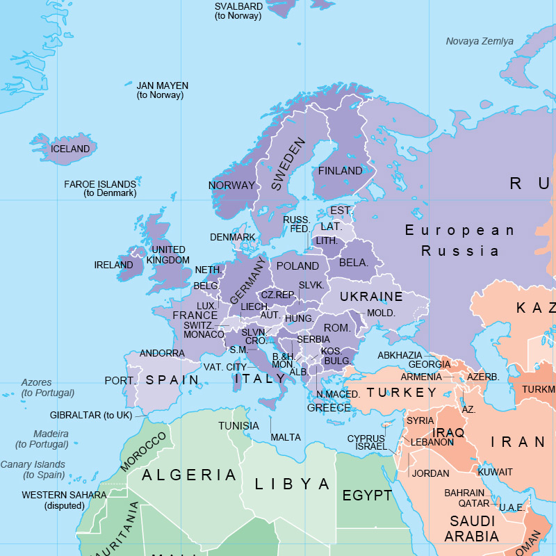
Maps of European countries
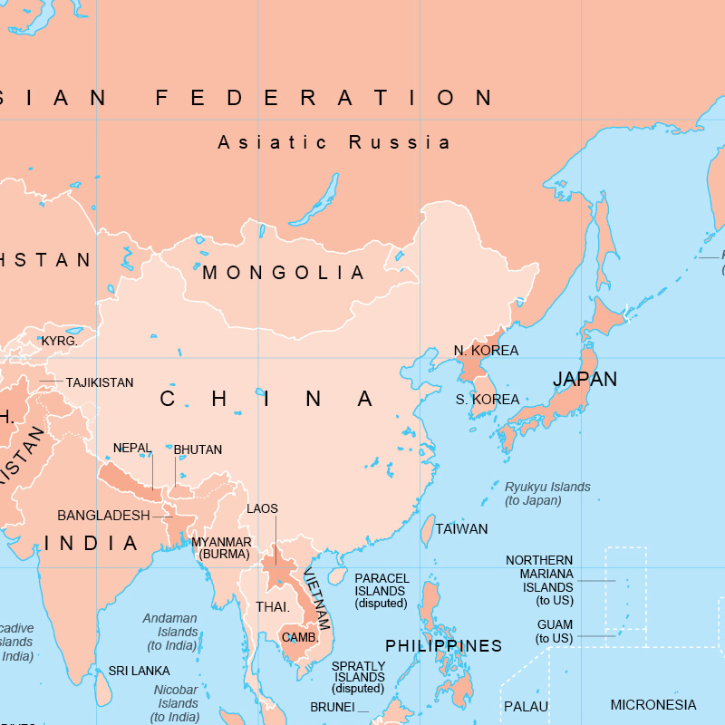
Maps of Asian countries
- Kingdom of Thailand
- Malaysia
- People’s Republic of Bangladesh
- People’s Republic of China
- Republic of India
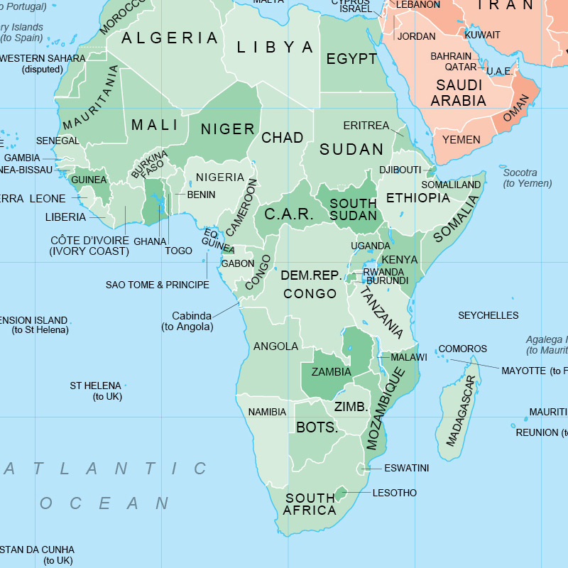
Maps of African countries
- Africa
- Arab Republic of Egypt
- Democratic Republic of the Congo
- Federal Democratic Republic of Ethiopia
- Federal Republic of Nigeria
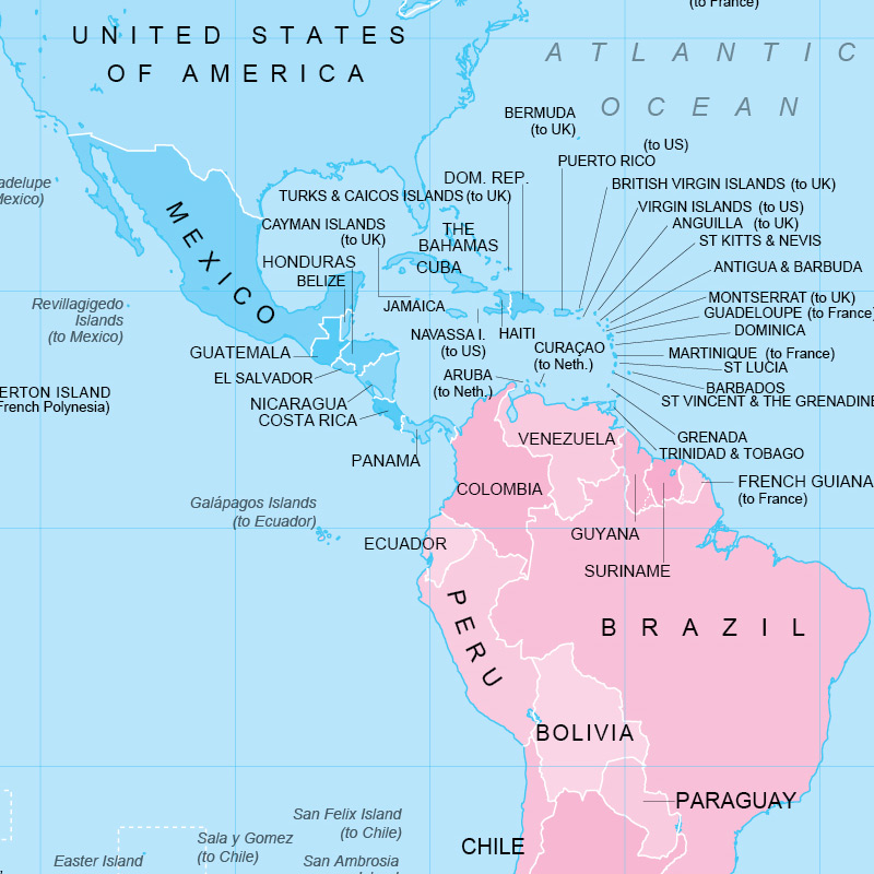
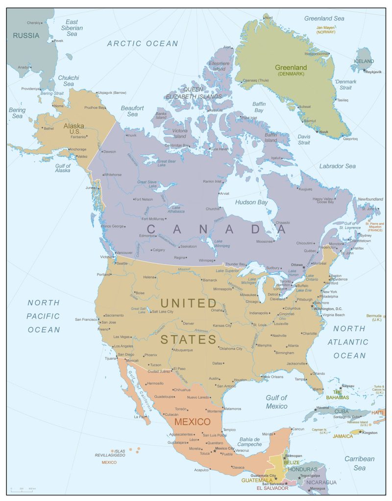
Maps of countries in North America
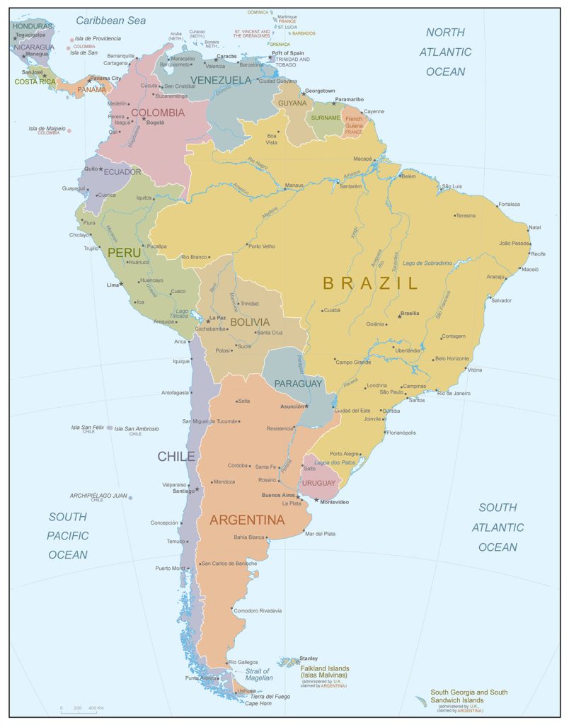
Maps of countries in South America
Maps of the countries of Australia and Oceania
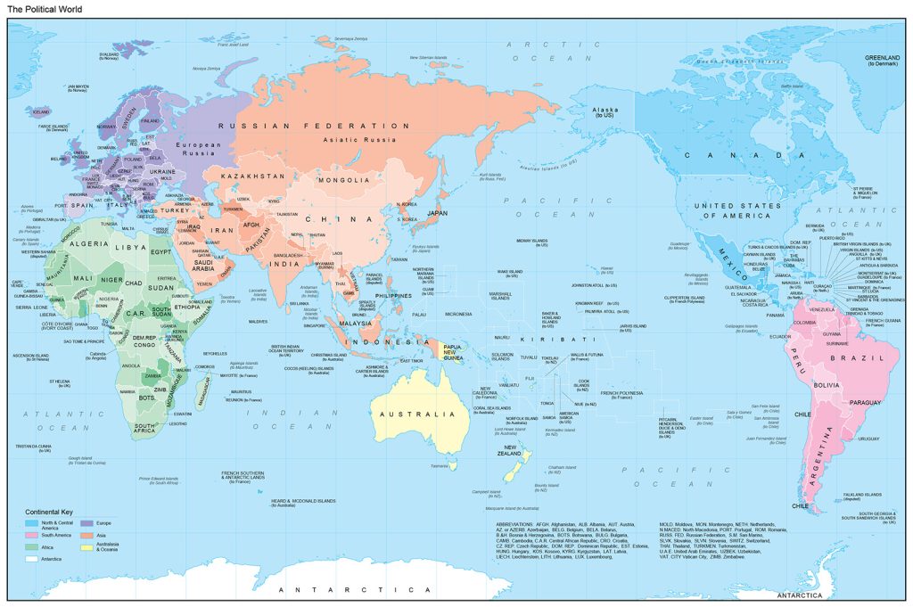
Political map of the World
The geographical image of the states, the way of their territorial organization, as well as the system of organization of the highest authorities are displayed on the political map of the world.
Each continent of the globe is divided into countries that have their own borders (fixed or blurry). For ease of use, each country is highlighted in a different color.
Looking at the political map, you can determine the capital of the state, its geographical location, major cities, the presence of land and sea borders, as well as the name of neighboring countries.
The images of countries on this map are inconsistent. This is due to the instability of state borders, as well as changes in the political status of countries.
The reasons for changing the political map are divided into two types: quantitative and qualitative. The former include changes in territories: the accession or alienation of new lands as a result of their discovery, military operations or interstate exchange of land, as well as the unification or disintegration of states.
The second includes changes in the state structure, renaming, changing the capital, the unification of individual states into unions, and the like.
For ease of use, the world map is divided into several more detailed maps:
- Map of Eurasia (in turn divided into a map of Europe and a map of Asia);
- Map of Africa;
- Map of North and South America.
The history of the newest map of the world begins in 1914, as the result of the world wars was the redivision of the world.
At the moment, 195 independent sovereign states are displayed on the political map of the world. Of these, only 193 States are members of the United Nations. The Vatican and Palestine are observers, not members of the UN.
Physical map of the world
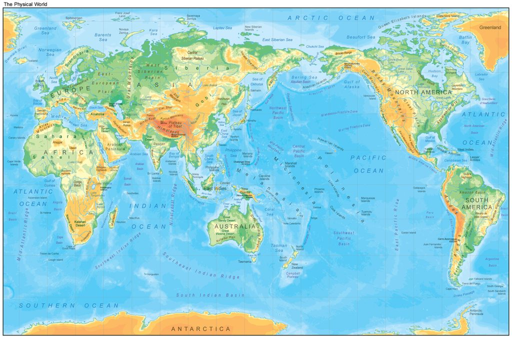
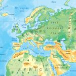
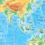
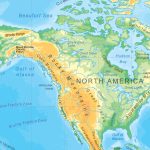
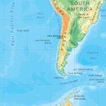
A geographical map that depicts the appearance of a territory and water area is called a physical map of the world. In addition, the map shows a geographical degree grid of parallels and meridians, thanks to which you can determine the geographical coordinates of any object.
The physical map of the world displays in detail the relief: mountain ranges, foothills, plains, seas, rivers, lowlands and other landscape zones and geographical objects. Thanks to this map, you can analyze the natural features of certain territories, climatic zoning, and so on.
Unlike the political map of the world, the physical map shows in detail the features of the relief and the water area of the territories. In addition to the scale designation, the physical map has a scale of heights and depths. The absolute height of the relief is measured from sea level, with the zero height displayed in green, and above it 5000 m in red. Zero depth on the map is displayed in pale blue, and deeper 8000 метров- deep blue.
The physical map of the world is depicted both in full form and in the form of hemispheres: western and eastern, as well as oceanic and continental.
Oceanic hemisphere
The physical map of the oceanic hemisphere reflects the South Pole of the Earth, the mainland and the continent of Antarctica, which is washed by the Pacific, Atlantic and Indian oceans.
Mainland hemisphere
The physical map of the continental hemisphere reflects the North Pole of the Earth, the Arctic Ocean, as well as all the continents and continents (except Australia).
Western hemisphere
The physical map of the Western Hemisphere fully reflects two continents: North and South America with all adjacent islands, as well as part of Antarctica. The map shows not only oceans, but also ocean currents.
Eastern hemisphere
On the physical map of the Eastern Hemisphere, 4 continents are fully reflected:
- Europe;
- Asia;
- Australia;
- Africa.
- Also part of Antarctica.
The Prime Meridian runs through the Eastern Hemisphere. The zero parallel (equator) passes through both hemispheres and divides the globe into the southern and northern hemispheres.
 The Guide Maps
